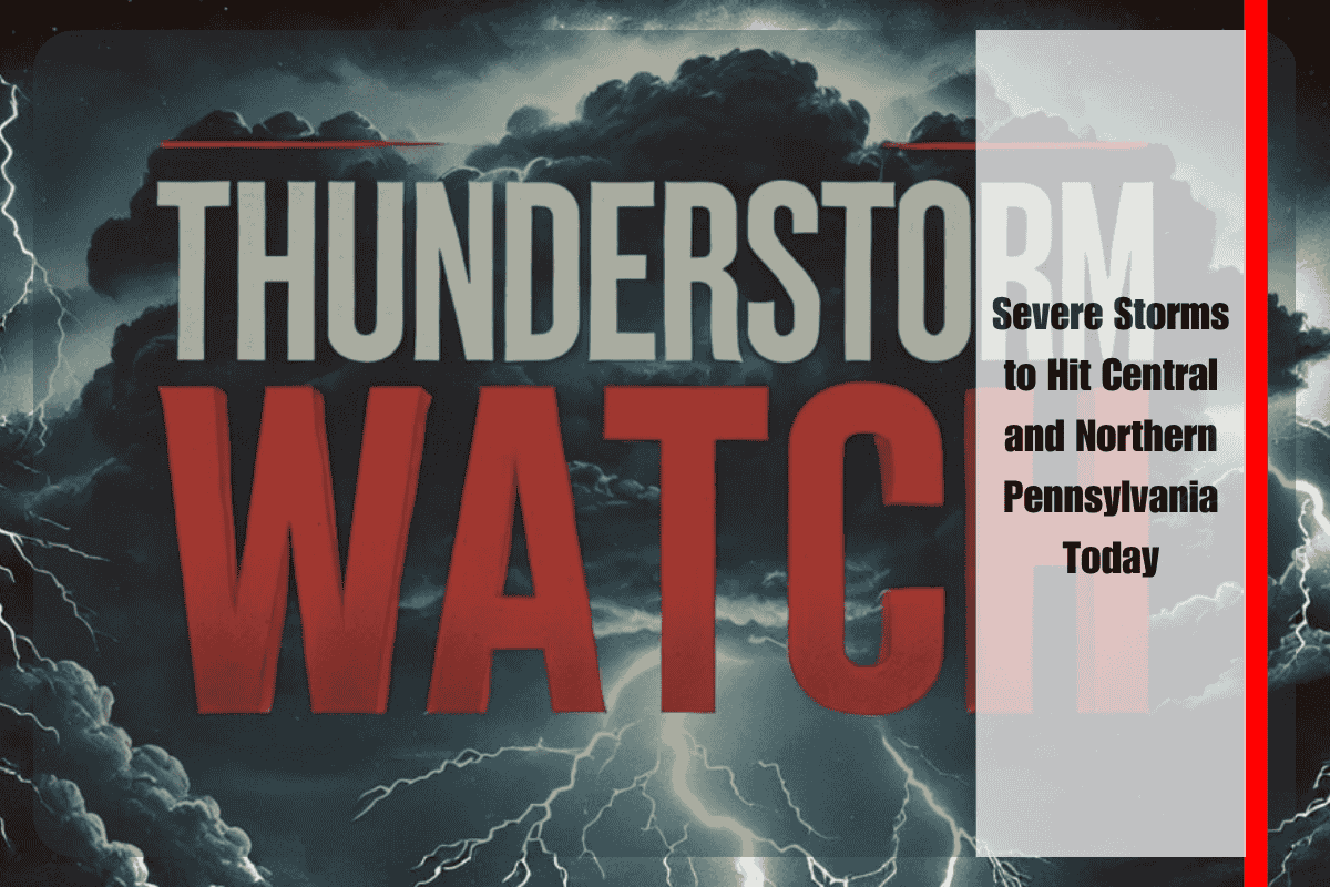
People across central and northern Pennsylvania should be ready for strong thunderstorms this afternoon. According to the National Weather Service’s Storm Prediction Center, a Severe Thunderstorm Watch has been issued for 38 counties, including Westmoreland, Luzerne, Blair, and Centre, valid until 8 p.m. Saturday.
What to Expect: High Winds, Hail, and Flash Floods
These storms may bring very strong winds up to 60 mph, isolated hail, and frequent lightning. In areas where multiple storms pass through, flash flooding is also possible.
Cities such as State College, Scranton, and Altoona are at risk of rapid storm development, especially between 3 p.m. and 7 p.m. Residents in these areas are advised to stay indoors during storms, and to bring inside or secure any outdoor furniture or loose items.
Travel Warnings and Road Safety
The Pennsylvania Department of Transportation (PennDOT) has warned drivers to avoid unnecessary travel during storms, especially on major routes like I-80, I-81, and US-322. Poor visibility and high winds could make driving very dangerous.
First Major Storm Alert of the Season
This is the first large-scale severe storm watch of the summer in Pennsylvania, and it could lead to falling trees, downed power lines, and local power outages. Emergency officials recommend staying weather-aware, charging mobile devices in case of power cuts, and tuning into NOAA Weather Radio or local stations for updates.
A large area of Pennsylvania is under threat from dangerous thunderstorms today. High winds, hail, and flash flooding are all possible. Residents should take the warning seriously and stay alert, especially in the afternoon and evening hours. Stay indoors, avoid travel if possible, and follow official weather alerts for your safety.


