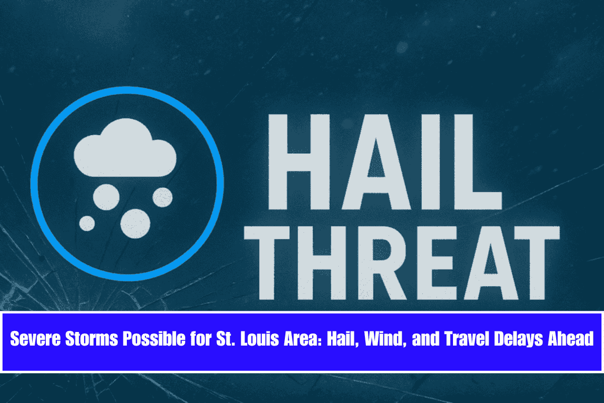
St. Louis, Missouri – Severe thunderstorms are expected to move through eastern Missouri and western Illinois by Thursday night, with the St. Louis metro area being at high risk for hail, damaging winds, and potential travel disruptions. The National Weather Service in St. Louis has warned that thunderstorm chances will increase starting Thursday evening and continue into Saturday. These storms could bring large hail and gusty winds over 40 mph, making travel potentially hazardous.
Storm Timing and Areas at Risk
According to weather officials, thunderstorms are most likely to develop after 7 p.m. Thursday, affecting major roads like I-70, I-64, and U.S. Route 40. The cities most at risk include St. Louis, Florissant, Arnold, and Columbia, Illinois. As the storms intensify, trained weather spotters may be activated to monitor conditions. In preparation, residents are urged to review their emergency plans, charge devices, and minimize outdoor activities on Thursday night to stay safe.
Typical Early Summer Weather Before Storms Hit
Before the storms arrive, the region will experience typical early summer conditions. The weather will be dry and sunny through Wednesday, with highs reaching the upper 80s. However, Thursday’s increasing humidity signals a shift towards more unstable conditions, setting the stage for the expected storms. This weather pattern mirrors previous early June outbreaks, which have resulted in damage to trees and power outages, especially along both sides of the Mississippi River.
Keep Monitoring Weather Updates
If you live in eastern Missouri or the Metro East area, it’s important to stay alert and closely monitor weather updates. Thursday night through Saturday will be critical for storm activity, so be prepared for sudden changes in the weather and potential impacts on your plans.
5-Day Weather Snapshot for Eastern Missouri & Western Illinois (June 9–June 14)
- Monday (June 9): Mostly sunny, high 81°F. Calm conditions.
- Tuesday: Sunny, high 82°F. Overnight low near 62°F.
- Wednesday: Sunny, high near 88°F. Partly cloudy overnight.
- Thursday: Mostly cloudy, high 87°F. Storm risk rises after sunset.
- Friday: 40% chance of thunderstorms. High 86°F.
- Saturday: Storms likely. High near 86°F.
While the start of the week will remain pleasant with sunny skies and warm temperatures, the potential for severe storms starting Thursday night should be taken seriously. Hail, strong winds, and travel disruptions are all possible, so it’s important to stay prepared and monitor local forecasts closely.


