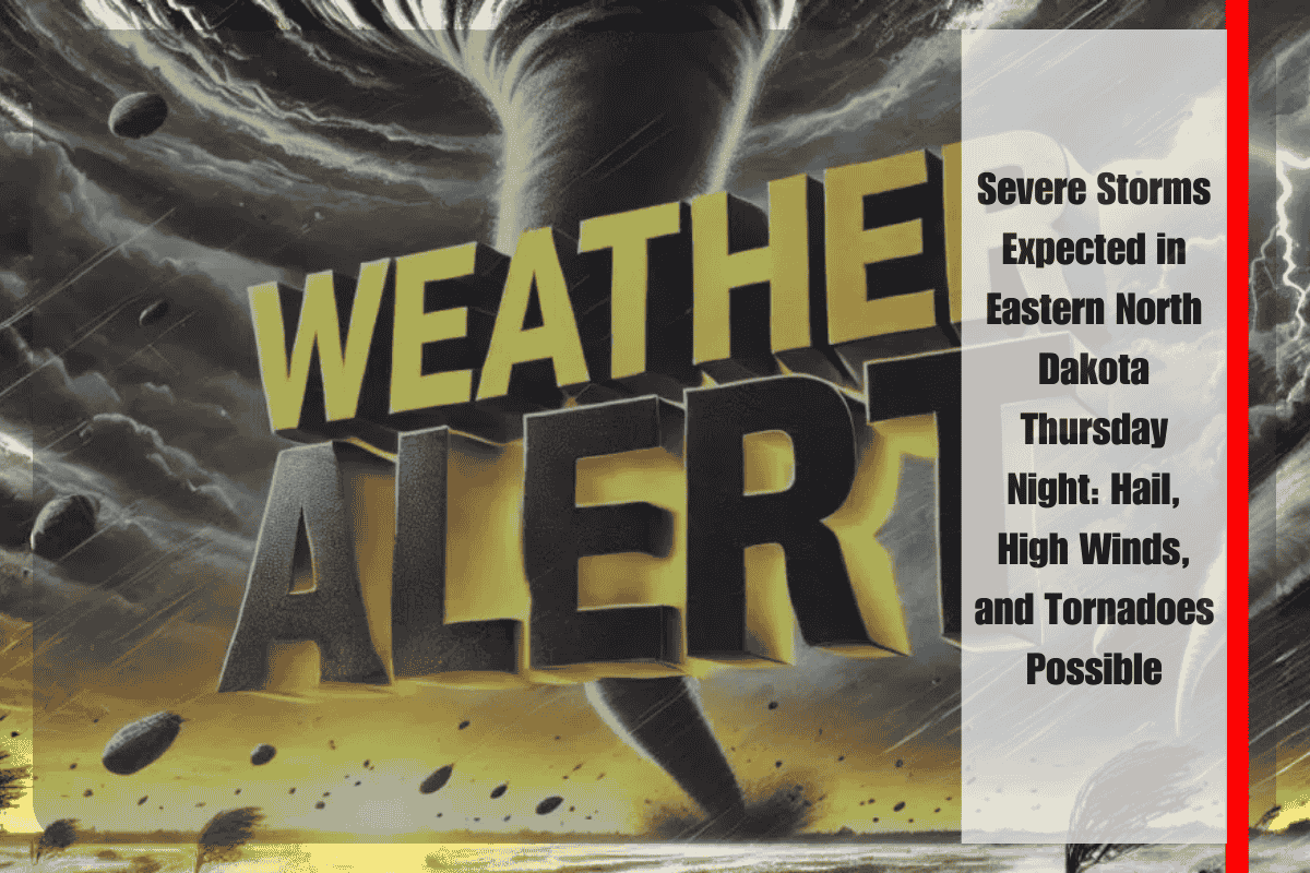
Grand Forks, North Dakota – Severe storms are expected to develop across eastern North Dakota Thursday evening, starting after 6 p.m., with the potential for dangerous conditions including tennis ball-sized hail, wind gusts near 75 mph, and even a possible tornado before 10 p.m.
The National Weather Service in Grand Forks has issued a Level 2 risk for several areas, including Devils Lake, Fargo, and Grand Forks. Residents in these regions should prepare for scattered but intense storms through the overnight hours. Tornadoes are a particular concern early in the evening, with damaging hail and high winds being the primary hazards. The storm system may also produce storms that form quickly and without much warning.
Key Hazards: Hail, Winds, and Tornado Risk
The most immediate threats are large hail and powerful wind gusts that could reach up to 75 mph. Tennis ball-sized hail is possible, which could cause significant damage to vehicles, roofs, and windows. Winds at this strength are capable of knocking down trees and power lines, potentially leading to power outages. Additionally, tornadoes are a concern, especially during the earlier part of the evening, so residents should remain vigilant for rapid changes in conditions.
Travel Hazards and Safety Measures
Travel conditions will be dangerous along highways such as I-29 and US-2, where visibility could drop suddenly due to heavy rain, hail, and strong winds. Motorists are advised to avoid travel if possible during the peak storm hours or to seek shelter if they are caught in the storms.
Residents are urged to stay weather-aware throughout the night, as the threat of severe weather will continue even while many people are asleep. The NWS recommends charging mobile phones, enabling emergency alerts, and having a reliable way to receive warnings, such as a battery-powered weather radio, in case of power outages or if you are away from a TV.
Storm Risk and Relief
While the severity of the storm system should decrease toward dawn, there is still the possibility of additional watches and warnings if the storms redevelop overnight. It’s essential for residents to remain prepared for rapidly changing conditions and to heed any further weather alerts issued by the NWS.
With large hail, high winds, and the potential for tornadoes, residents are strongly encouraged to take all necessary precautions and monitor weather updates closely throughout Thursday evening and into the night.


