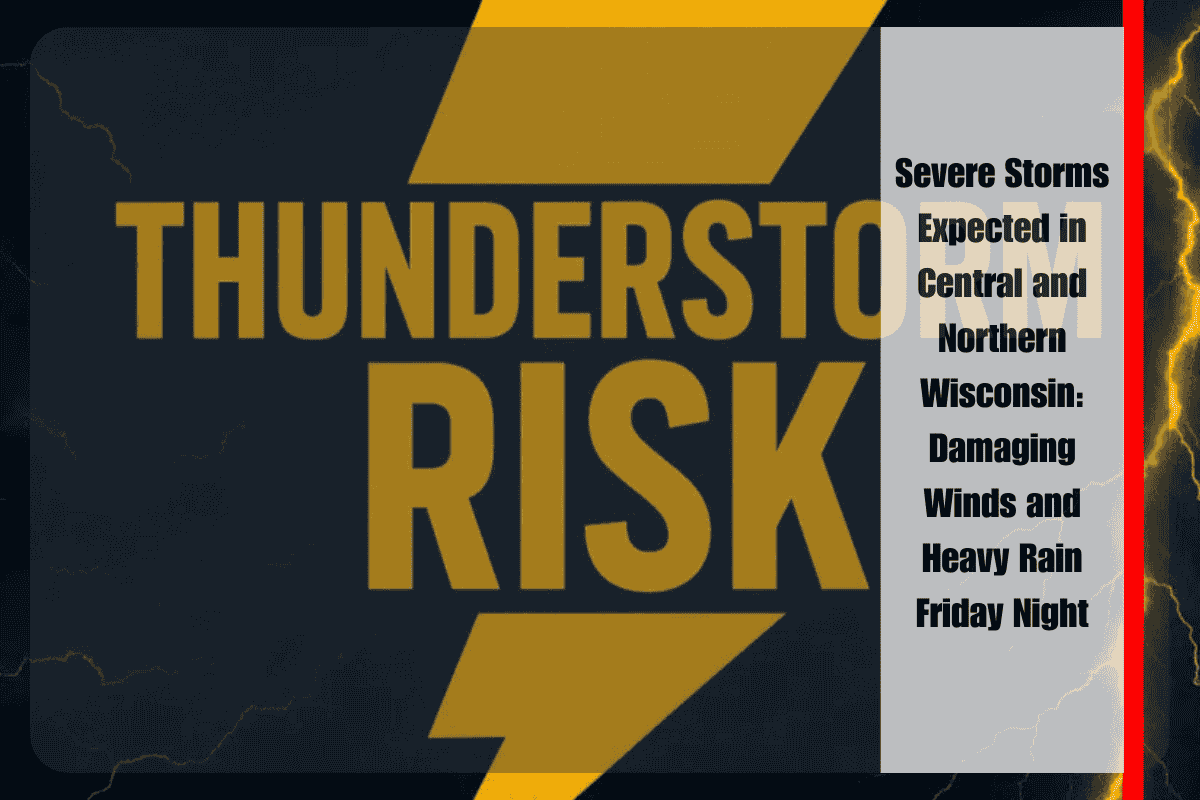
Green Bay, Wisconsin – Central and northern Wisconsin are bracing for severe thunderstorms late Friday, with the potential for damaging winds and torrential rain overnight into early Saturday. Cities such as Wausau, Eau Claire, and Rhinelander are in the bullseye for storms capable of producing wind gusts up to 60 mph and hail as large as one inch in diameter.
Storm Development and Risks
The National Weather Service (NWS) in Green Bay predicts that scattered thunderstorms will begin to develop Friday afternoon in western Wisconsin and will intensify as they move eastward through the evening. The highest risk for severe weather is expected between late Friday evening and early Saturday morning, particularly across north-central parts of the state. In addition to strong winds and hail, heavy rainfall could lead to localized flooding, especially in urban areas and near rivers, as the storms bring down intense rainfall rates.
Impact of the Weather: Humidity and Flooding Concerns
As the storm system moves through, humidity will increase, making conditions feel uncomfortable even during dry periods. While extreme heat indices are not forecast, residents should stay vigilant and monitor weather alerts for any new advisories, especially if conditions worsen. Localized flooding is a significant concern, with rivers and streams rising quickly in response to the heavy rainfall. Urban areas, where drainage systems may struggle to cope with the downpours, could see street flooding as well.
Uncertainty and Ongoing Threats
While the storms are expected to move eastward through the night, there is uncertainty about how long they will maintain strength as they push toward northeast Wisconsin. The potential for severe weather may continue into Sunday, with additional rounds of showers and thunderstorms possible.
What You Can Do:
- Stay weather-aware and ensure you have multiple ways to receive alerts, especially overnight Friday.
- Secure outdoor items that could be blown around by strong winds.
- Be prepared for possible flooding, particularly in low-lying areas or near rivers.
- Avoid traveling in severe weather if possible, and if driving, slow down in heavy rain and reduced visibility.
- Keep an eye on updated forecasts, as the storm’s path could change.
Residents are urged to stay prepared for potential hazards through the weekend and keep track of weather developments to stay safe.


