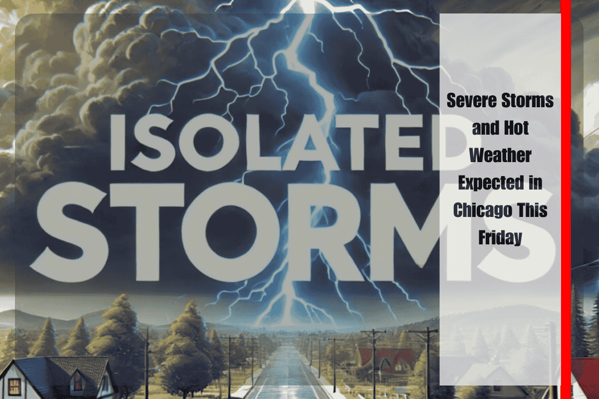
Chicago, Illinois, is bracing for severe weather on Friday morning, as storms are expected to develop north of Interstate 80, bringing potential hazards like strong winds, flooding, and extreme heat to the city. According to the National Weather Service in Romeoville, isolated thunderstorms are most likely between 10 a.m. and 1 p.m. in areas north of I-80, especially in Cook, Lake, and DuPage counties. These storms could bring gusty winds of up to 60 mph and cause localized street flooding. Drivers along Lake Shore Drive and the Edens Expressway (I-94) should be prepared for brief downpours that could slow traffic.
The heat will continue to be a concern throughout the day. While temperatures are expected to rise to the mid to upper 80s on Friday afternoon, high humidity will make it feel closer to 100°F. The public is urged to stay indoors as much as possible, drink plenty of water, and stay alert to rapidly changing weather conditions. The National Weather Service has issued a Level 1 Severe Thunderstorm Risk and a Limited Flooding Risk for the areas affected.
Unfortunately, the weekend doesn’t bring much relief. On Saturday, the high temperature will drop slightly to the upper 70s, but storm chances will still be present. Sunday, however, will see a significant rebound with temperatures reaching around 92°F, along with another round of isolated thunderstorms expected in the evening.
Severe weather on Friday could also lead to power outages and fallen tree limbs, especially in areas north of I-80. Spotters will be needed to monitor the situation, as stronger storms are likely. Storm risks are expected to continue into Sunday night, and heat concerns will persist through the early part of next week.
Five-Day Weather Forecast for Chicago | June 26 – July 1
Thursday (June 26): High of 92°F, with isolated afternoon storms. Heat index up to 97°F.
Friday (June 27): High of 86°F, isolated storms expected north of I-80 late morning to early afternoon. Windy conditions.
Saturday (June 28): High of 78°F, partly cloudy with a slight chance of storms.
Sunday (June 29): High of 92°F, humid with storm chances in the late afternoon and evening.
Monday (June 30): High of 86°F, continued risk of afternoon storms, breezy conditions.
Tuesday (July 1): Mostly sunny with a high near 83°F.
With dangerous storms and high temperatures expected this week, it’s important to stay informed about the changing weather and to take necessary precautions for your safety.


