Raleigh, North Carolina – A brutal stretch of summer heat is set to return to central North Carolina this Thursday, July 24th, with Raleigh residents bracing for rapidly rising temperatures and a chance of afternoon thunderstorms. The National Weather Service has issued a high alert, urging everyone to limit outdoor activity, stay hydrated, and check on vulnerable neighbors as temperatures are expected to reach 91°F with a surge in humidity.
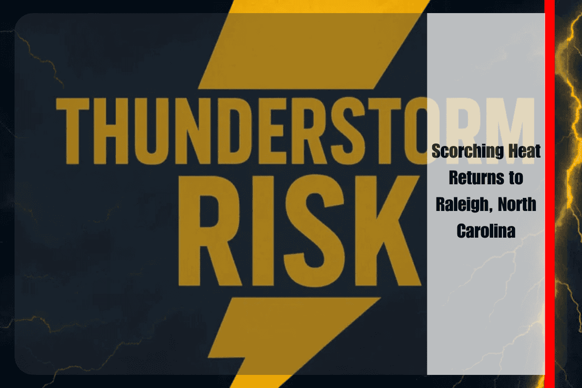
According to the National Weather Service in Raleigh, skies will be mostly sunny early on Thursday, but clouds will build as the day progresses. Isolated thunderstorms are expected to develop after 2 p.m., though the chance of rain sits at just 20%. If thunderstorms do form, they could bring brief, heavy rain and lightning, particularly in areas near major roadways like I-40 and I-440. Winds will be calm in the morning, shifting to the northeast at 5 mph by the afternoon.
Looking ahead, Friday marks the beginning of a prolonged heatwave. Raleigh and surrounding Wake County will experience mostly sunny skies with a high near 96°F, increasing the risk of heat-related illnesses. Overnight lows in the mid-70s will offer little relief, and by Saturday and Sunday, temperatures will remain in the mid-to-upper 90s. In some areas, the heat index may approach triple digits, making it feel even hotter.
Health officials are stressing the importance of staying safe during these extreme conditions. Residents are advised to avoid strenuous activities during the afternoon, stay hydrated, and never leave children or pets in vehicles. It’s also important to check on elderly relatives and use air conditioning whenever possible.
More hot, sunny days are expected through the early part of next week. Brief relief may come at night with partly cloudy skies, but the oppressive heat will return each day. Stay tuned for further updates and potential advisories as this summer heatwave continues.
Five-Day Raleigh Weather Outlook:
Thursday, July 24: Mostly sunny with a high of 91°F and a slight chance of afternoon thunderstorms.
Friday, July 25: Sunny with a high of 96°F and an overnight low of 78°F.
Saturday, July 26: Hot and sunny with a high near 99°F and a nighttime low of 78°F.
Sunday, July 27: Sunny and hot with a high near 98°F and a low of 77°F.
Monday, July 28: Continued heat with mostly sunny skies, a high of 96°F, and a low of 76°F.
This heatwave is expected to persist, so stay prepared and informed as temperatures remain high throughout the week.


