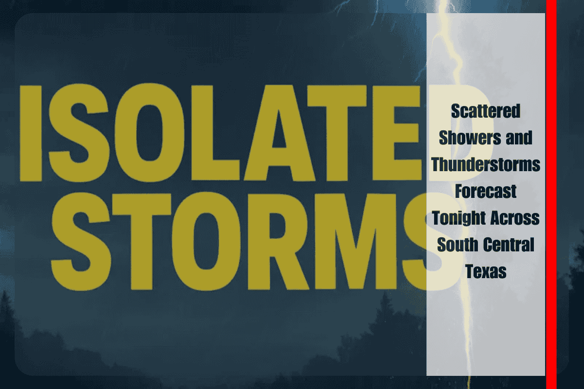
San Antonio, TX — South Central Texas is in for a wet night, with scattered showers and isolated thunderstorms expected to move westward. While not everyone will see rain, some areas could pick up as much as 2 inches overnight, especially across the Edwards Plateau and Rio Grande Plains.
Highest Rainfall Chances in Uvalde, Del Rio, and Eagle Pass
According to the National Weather Service in Austin-San Antonio, the best chance for rain will develop late Tuesday night into early Wednesday morning, with the focus on Uvalde, Del Rio, and Eagle Pass. Rain chances taper off as you move northeast, with cities like Austin and Georgetown seeing only minimal precipitation.
Possible Impacts for Drivers
Although widespread flooding isn’t expected, isolated downpours could lead to ponding on roads, especially in low-lying areas. If you’re driving along U.S. 90 or I-35, stay alert for slick roads and sudden reduced visibility from heavier showers.
Residents are urged to:
- Avoid driving through water-covered roads
- Keep mobile devices fully charged in case of power outages from storms
Overnight Temperatures
Temperatures will dip slightly overnight, with:
- Upper 60s expected across the Hill Country
- Mid-70s around San Antonio and the I-35 corridor
More Rain on the Way?
Rain chances may return midweek, as lingering moisture keeps the pattern unsettled. While no severe weather is currently forecast, isolated storms and continued wet conditions remain possible through the next few days.


