SIOUX FALLS, S.D. – Rain expected through Labor Day.
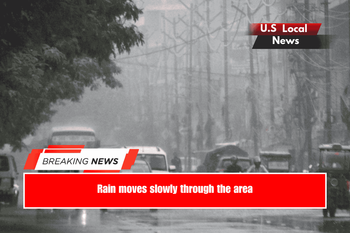
A slow-moving low-pressure system will pass through the area, bringing scattered showers and storms. The eastern edge of the rain will attempt to move into southeast KELOLAND this morning and afternoon. At the same time, rain will continue in central and northwest South Dakota. Areas from Pierre to Faith have already received an inch or more of rain in the last 24 hours.
Today’s highs will range from the 60s to the 70s.
The rain will gradually move east tomorrow and on Labor Day, as temperatures remain below average. Expect afternoon highs in the 70s.
By midweek, much cooler air will have moved in.
As a cold front approaches on Wednesday, northerly winds will accelerate to 15-30 mph with higher gusts. This will result in much cooler, lower dew points. Expect temperatures to drop to the 50s and 60s. Scattered rain is expected.
As a cold front approaches on Wednesday, northerly winds will accelerate to 15-30 mph with higher gusts. This will result in much cooler, lower dew points. Expect temperatures to drop to the 50s and 60s. Scattered rain is expected.
Overnight lows for Thursday morning will be in the 40s, with some locations in the 30s.