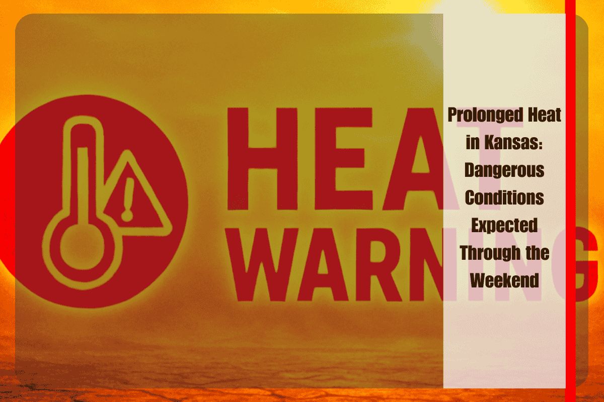
Wichita, Kansas – Kansas residents are bracing for a stretch of extreme heat, with heat indices expected to exceed 100°F in parts of the state, particularly from Wichita to Salina, starting Thursday, August 14. The National Weather Service (NWS) in Wichita has warned that prolonged hot weather, combined with dry conditions, could pose risks to both outdoor activities and travel along major highways, including I-35.
Patchy fog is expected Thursday morning, especially along and east of the Flint Hills, with the greatest impact before 9 a.m. While severe storms aren’t anticipated, an isolated thunderstorm could develop in the afternoon or early evening, though most areas are expected to remain dry. Residents should be prepared for rapidly changing skies and monitor the weather closely.
The primary concern, however, is the ongoing heat. Thursday’s high will reach 92°F, and by Friday, the mercury will climb to 96°F, with heat indices in south-central Kansas expected to push 102°F. These oppressive conditions are likely to persist through early next week. The NWS is urging residents to take heat precautions, including staying hydrated, avoiding strenuous outdoor activities during peak heat hours, and checking on vulnerable individuals such as the elderly and those without air conditioning.
Despite the extreme heat, there is no significant rain relief in sight until late Sunday. The next chance for rainfall comes Sunday night into Monday, with a slight 20% chance of showers and thunderstorms. Until then, sunny, dry conditions will dominate the forecast.
Kansas 5-Day Weather Forecast (Wichita, KS | Aug 13–17):
- Wednesday (Aug 13): Sunny, high 90°F
- Thursday (Aug 14): Sunny, high 92°F, heat index near 100°F
- Friday (Aug 15): Sunny, high 96°F, gusts up to 21 mph
- Saturday (Aug 16): Sunny, high 96°F
- Sunday (Aug 17): Mostly sunny, slight PM storm chance, high 96°F


