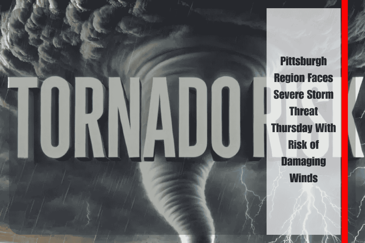
Western Pennsylvania is bracing for an active weather day Thursday, as multiple rounds of storms are expected to sweep through the region ahead of an advancing cold front. Forecasters with the National Weather Service in Pittsburgh warn that damaging winds will be the primary hazard, though a small risk of an isolated tornado cannot be ruled out.
The day will likely feature two distinct storm windows. The first round of showers and thunderstorms may arrive by Thursday afternoon, producing pockets of heavy rain, lightning, and gusty winds. While this initial wave will weaken the atmosphere somewhat, the timing between systems is critical. If skies clear and temperatures rebound briefly, additional instability could set the stage for a more dangerous second round later in the day. This stronger wave is forecast to move in Thursday evening, just as commuters head home, raising concerns for significant travel impacts.
The greatest risk for severe weather appears to be southeast of Pittsburgh, particularly across the Laurel Highlands and areas east of I‑77. In these locations, damaging winds are most likely to occur, with forecasters also monitoring the potential for rotating cells capable of producing a brief tornado. Although confidence in widespread tornado development remains low, strong storm dynamics and localized instability may allow one or two isolated spin-ups.
Emergency managers are urging residents of western Pennsylvania to prepare for rapidly changing conditions throughout Thursday. Scattered power outages are possible if falling trees or powerlines are brought down by strong wind gusts. Motorists should anticipate delays and slower travel during heavy rain, especially along major routes such as the Pennsylvania Turnpike and surrounding interstates. Commuters are advised to monitor updates closely and be ready to adjust travel plans if severe weather warnings are issued.
In addition to potential hazards, the storms could bring intense bursts of rainfall. Downpours may reduce visibility on roads and create ponding in low-lying or poorly drained areas. Drivers are urged to maintain safe speeds, keep extra distance between vehicles, and never attempt to drive through flooded roadways.
Officials stress the importance of having multiple ways to receive weather alerts during this storm system. Keeping cell phones charged ahead of time is strongly recommended in case of power outages. Outdoor events scheduled Thursday afternoon and evening should have contingency plans in place, as conditions will be shifting quickly and storms may develop or intensify with relatively little lead time.
Looking beyond the storm risk, cooler and less humid air is expected to filter into western Pennsylvania by Friday as the cold front passes. Highs will dip into the 70s with lower moisture levels, offering a refreshing break from the stormy pattern. However, the focus remains firmly on Thursday, when timing, instability, and storm strength could combine to bring impactful weather to the region.
Forecasters will continue to refine details as storm development becomes clearer early Thursday. Residents are encouraged to stay weather‑aware from midday onward and be ready to take action if severe thunderstorm or tornado warnings are issued.


