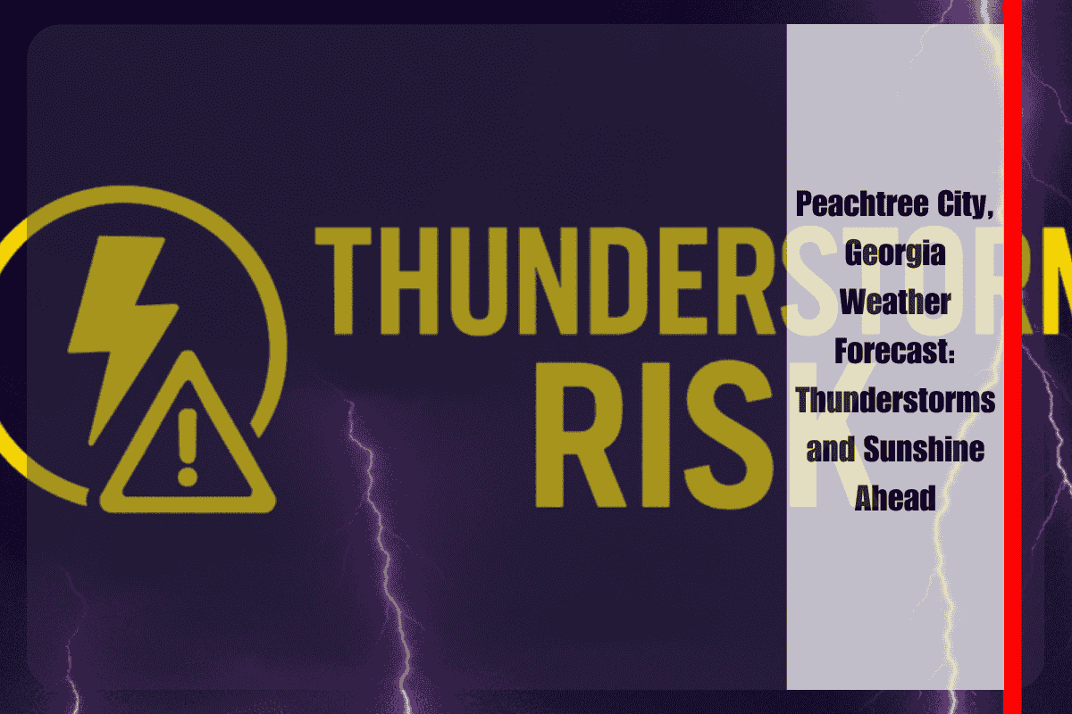
Peachtree City, Georgia, is bracing for thunderstorms this afternoon, which could disrupt the evening commute and bring a risk of hail, strong winds, and brief flooding. These storms are expected to develop after 2 p.m. on Tuesday, July 1, as a weak cold front moves southward across north and central Georgia.
Stormy Weather on Tuesday
According to the National Weather Service in Peachtree City, numerous thunderstorms are expected to develop across the Atlanta metro area and surrounding counties like Fulton, Clayton, and Coweta. Some of these storms could bring damaging wind gusts, small hail, and heavy rainfall, especially along major highways like I-75 and I-285. This could lead to reduced visibility and flash flooding, particularly in low-lying areas.
Motorists are urged to delay travel if possible and be aware of flash flood advisories. Storm activity may continue into Wednesday, with the possibility of scattered thunderstorms, especially in the afternoon and early evening. There’s a 30% chance of storms on Wednesday, with localized higher rainfall amounts.
Sunny and Hot Days Ahead
The weather will improve as the week progresses. Starting Thursday, drier and sunnier conditions will take over. Independence Day, Friday, July 4, is expected to be mostly sunny with highs reaching around 92°F, making it a perfect day for outdoor celebrations. However, with the hot weather, be sure to stay hydrated, especially during peak afternoon hours, to avoid heat-related illnesses.
The summer heat will continue into the weekend. Saturday, July 5, will remain mostly sunny and hot, with highs around 92°F. Sunday, July 6, will also see mostly sunny skies, though a slight chance of storms may develop in the late afternoon. Highs will reach around 91°F.
While Peachtree City faces stormy weather today, conditions will improve later in the week, with sunny, hot days ahead for the 4th of July weekend. It’s a great time to enjoy outdoor activities, but be mindful of the heat and take precautions to stay safe.


