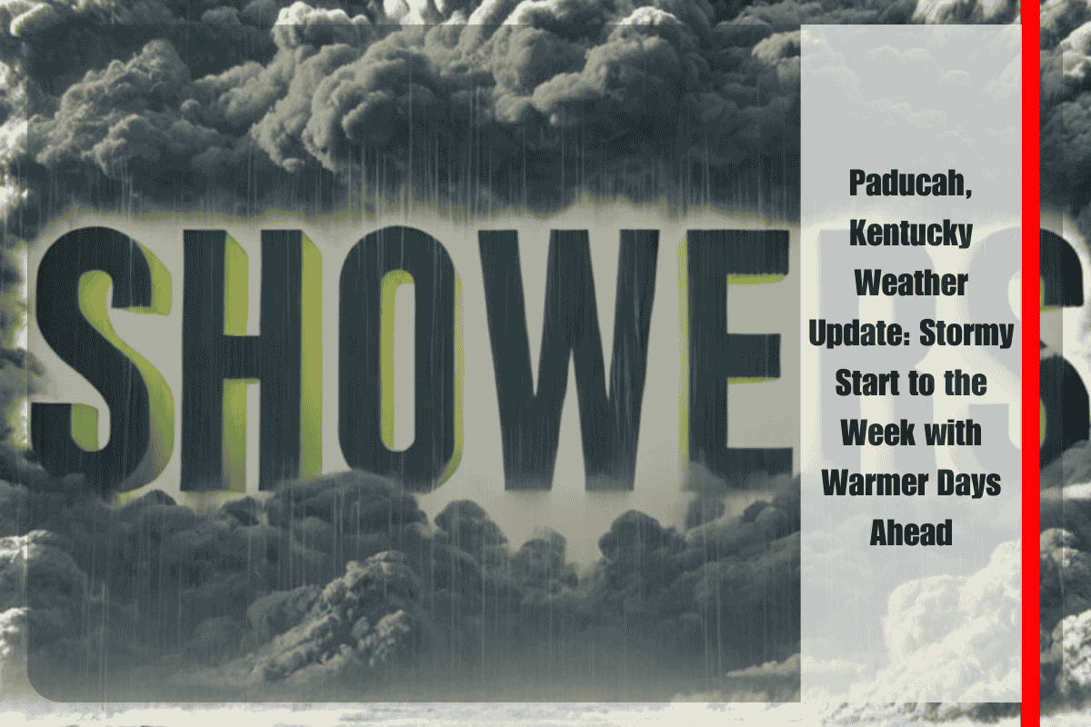
As the new week begins, cooler-than-average temperatures continue to settle over Paducah and the broader western Kentucky region. Despite the comfortable air, residents should keep their umbrellas handy as scattered afternoon thunderstorms are expected to develop between Monday and Wednesday. The Kentucky Pennyrile area, in particular, could see some of the more active weather, especially on Monday, with forecasters predicting brief but heavy downpours and occasional lightning strikes.
According to the National Weather Service in Paducah, the highest chance for widespread thunderstorms will be during the afternoons and evenings on both Monday and Tuesday. While parts of western Kentucky, including areas as far west as the Mississippi River, could see storm activity, the strongest chances are east of the river. This includes much of the Pennyrile region, where rain chances reach up to 40% to kick off the week. Temperatures during this period are expected to remain mild for August, with daytime highs in the low to mid-80s and nighttime lows settling in the upper 60s. The air will feel muggy in the evenings and overnight, adding to the typical summertime discomfort.
Tuesday will likely bring another round of scattered storms, again focusing on the afternoon and early evening hours. The pattern of short, heavy showers and possible lightning remains a concern for outdoor events, local travel, and commuting. While widespread severe weather is not expected, any thunderstorm can produce sudden changes in weather conditions, including strong gusts of wind or poor visibility from rain.
By Wednesday, the storm coverage will begin to taper off slightly. Although scattered storms are still possible, they will likely be more isolated and concentrated in central and eastern parts of the state rather than the far west. The temperatures will rise slightly, climbing into the mid to upper 80s, with nighttime lows continuing in the mid to upper 60s. The humidity will remain noticeable, although not as oppressive as in previous weeks.
Looking toward the latter half of the week, Kentucky will gradually return to more typical summer weather. By Thursday, skies will be partly cloudy with warmer air returning. Highs will near the 90-degree mark, and conditions will begin to feel more in line with August averages. Nighttime lows will stay in the upper 60s, continuing the trend of warm and humid evenings.
Friday will bring the best weather of the week for those who enjoy sunny and dry conditions. Mostly sunny skies, highs in the low 90s, and less chance of rain will make for a pleasant end to the workweek. However, the warmer air also means people should be mindful of staying hydrated and avoiding outdoor activity during peak heat hours.
Officials remind residents to stay weather-aware, especially during the first half of the week when storms are more likely. It’s important to keep an eye on local weather alerts and avoid driving through flooded areas. Those with outdoor plans should be ready to adjust schedules if thunderstorms begin to develop in the afternoon.
While the week begins with cooler temperatures and some stormy weather, a return to warmer and sunnier days is on the horizon for Paducah and the surrounding areas.


