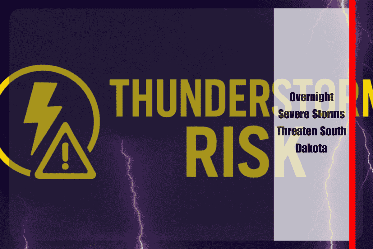
Sioux Falls, S.D. – Residents across South Dakota should brace for severe thunderstorms late tonight into early Friday morning, with the potential for damaging winds, large hail, and heavy rain. The National Weather Service in Sioux Falls has placed much of the region under a Slight Risk (level 2 of 5) for severe weather.
Timing and Areas at Risk
The greatest threat window runs from midnight until 6 a.m. Friday, when storms are forecast to sweep from central into eastern South Dakota. Communities most at risk include:
- Wessington Springs
- Brookings
- Madison
Storms are expected to move quickly, producing bursts of severe weather that could cause damage before weakening after sunrise.
Hazards
Forecasters warn that the storms may produce:
- Damaging wind gusts up to 65 mph, capable of downing trees and power lines.
- Hail up to quarter size, which may damage vehicles, roofs, and crops.
- Localized flooding, especially on low-lying roads, fields, and rural highways due to heavy downpours.
Safety Precautions
With the storms likely to peak overnight while many are asleep, officials stress the importance of having multiple ways to receive weather warnings. Residents are urged to:
- Keep mobile alerts turned on and charged.
- Use NOAA weather radios for overnight alerts.
- Identify safe shelter locations now, particularly if planning to travel or spend time outdoors this evening.
Travelers on Interstate 29 and Interstate 90 should also plan ahead, as storms could make overnight driving hazardous.
Outlook
The severe threat should taper off after sunrise Friday, but the NWS cautions that additional updates or warnings may be issued if storm activity redevelops later in the day.


