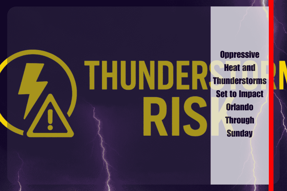
Orlando and much of Central Florida are facing oppressive heat and a series of thunderstorms through the weekend, as summer’s worst conditions continue to grip the region. Heat index values are expected to soar up to 102°F, and the chance of strong storms will disrupt outdoor plans and travel.
Weather Outlook for the Weekend
According to the National Weather Service, showers and thunderstorms will intensify after 4 p.m. on Saturday, continuing through Sunday night. The storms will bring localized heavy rainfall, gusty winds, and frequent lightning, particularly in the afternoon and evening. By Saturday night, the storm activity is expected to peak before 9 p.m., with mostly cloudy skies prevailing. Additional storms could return early Monday, with continued heat and humidity.
Flooding and Storm Risks
Areas across Orange and Seminole counties should prepare for frequent downpours, lightning, and sudden street flooding, particularly along major roads like I-4 and Colonial Drive. Drivers should remain cautious, as road conditions could change rapidly. Residents are urged to stay weather-aware, avoid outdoor activities during the hottest parts of the day, and seek shelter indoors at the first sign of thunder. It is also recommended to charge mobile devices and prepare for possible power outages.
Extended Forecast
Thunderstorm chances will remain high through Tuesday, with little relief from the heat and humidity. Additional advisories and weather updates will be issued as the storms continue into early next week.
Five-Day Forecast for Orlando, FL:
- Saturday: Partly sunny, scattered storms after 4 p.m., high near 94°F (heat index up to 102°F)
- Sunday: Thunderstorms possible after 2 p.m., high near 95°F, humid
- Monday: Slight chance of storms in the morning, likely storms in the afternoon, high 94°F
- Tuesday: Thunderstorms likely, hot and muggy, high 95°F
- Wednesday: Thunderstorms likely, high 94°F, continued humidity


