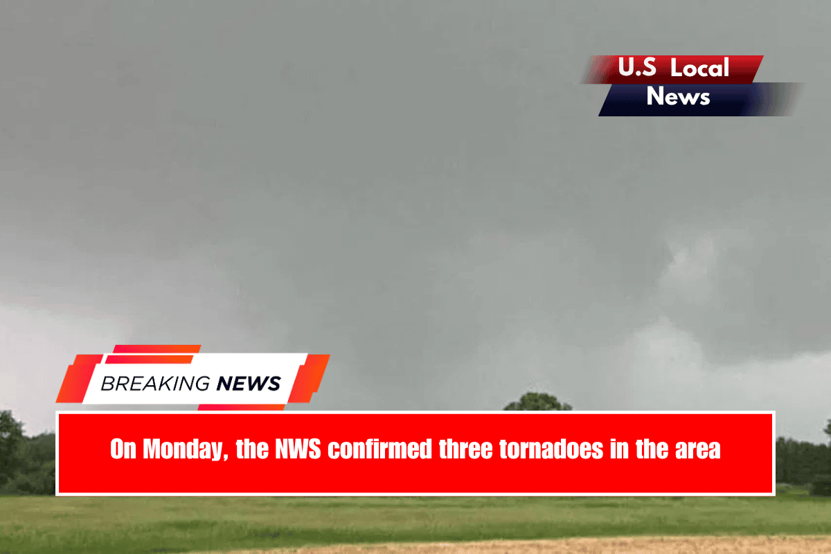
Sioux Falls, South Dakota – The National Weather Service reported on Thursday that Monday’s storm system produced two tornadoes in Gregory County and a third near Alvord, Iowa, in Lyon County. The Iowa tornado traveled about two miles, while the other two tornadoes covered a total of 20 miles in Gregory County.
An isolated storm in central South Dakota produced one tornado about a mile northwest of Dixon. Dixon is an unincorporated community in Gregory County. This was an EF-1 tornado that caused damage to a farm outbuilding, some power poles, and a South Dakota Department of Transportation truck shelter. According to the NWS, the tornado struck around 4:28 p.m. and lasted about 20 minutes, covering 11 miles.
The second tornado struck around 5:38 p.m., about eight miles northwest of Bonesteel and not far from Gregory, both in Gregory County. According to the NWS, an EF-2 tornado damaged a single-family home, two outbuildings, a camper, and an abandoned trailer. It also damaged power poles. This tornado traveled about eight miles and lasted approximately 45 minutes.
According to the NWS, an EF-1 tornado has wind speeds ranging from 86 to 110 mph. An EF-2 tornado has wind speeds ranging from 111 to 135 mph.
Gregory County’s emergency manager, Brad Christensen, told KELOLAND News on Tuesday that he and NWS were still unsure whether the county had two tornadoes. Local firefighters were battling fires started by storm lightning and tracking one tornado that passed between two groups of firefighters.
The third tornado, an EF-1, struck about a mile east of Alvord, Iowa. The NWS reported that it caused damage to some farm buildings, a large barn, and a grove of trees. This tornado occurred at 9:30 p.m. and lasted approximately one minute. It covered 1.7 miles.
On Monday afternoon, there was talk of a possible derecho in southeastern South Dakota and northwestern Iowa.
Although the storm system produced two tornadoes in South Dakota as it formed storms and passed through areas near Chamberlain, Gregory County, and others, the NWS reported that the storm system did not transform into a deroche until later Monday evening.
According to the NWS, wind gusts ranging from 55 to 99 mph were common throughout the southeast quarter of South Dakota and the northern half of Iowa during this storm.
“The greatest concentration of wind damage was near a line from Beresford to Spencer, Iowa,” according to the NWS. Numerous reports of strong wind gusts and photos of structural damage were received throughout the area.
The National Weather Service recorded a wind gust of 99 mph Monday near Sioux Center, Iowa.
On Tuesday, a co-owner of a car wash and welding shop in Alvord informed KELOLAND News of the damage.
“We’ve just been cleaning up, trying to salvage what we can,” co-owner Rachel Garland explained. “There’s nothing salvageable. We’ve got a part-time employee. We’ve got two welders. We were just trying to buy a plasma table, and now the entire shop is gone.”
Hudson was also affected by Monday’s storm, which the NWS has now declared deroche. The storm left behind uprooted trees, broken trees, and damaged buildings.
“Everyone was affected, no one was spared,” Hudson Mayor Steve Wickre told KELOLAND News Tuesday.
On Wednesday, the National Weather Service reported that a tornado that struck near Watertown in Codington County traveled four miles. It razed a house, some outbuildings, and trees on a farm. This was an EF-2 tornado with a maximum wind speed of 135 mph.


