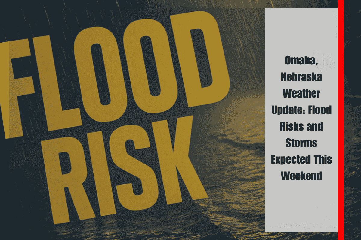
Omaha and surrounding areas are facing ongoing flood risks as river levels rise and storms threaten to return by Saturday night. The National Weather Service in Omaha/Valley has issued a warning for minor flooding along the Platte River near Leshara, which will continue through Sunday afternoon. The river is currently at 8.5 feet, causing lowland flooding, especially near the Papio NRD access site off Highway 64, which is already submerged. The river is expected to crest at around 8.1 feet by Saturday evening, bringing further concerns for local flooding.
As the weekend progresses, drivers are advised to stay cautious and avoid flooded roads, particularly after dark. It is never safe to attempt to drive through water-covered streets. The flood risks will affect travel in Sarpy, Saunders, and Douglas counties, and these areas should be monitored closely through the weekend as conditions evolve.
Saturday’s weather will start off calm but hot, with temperatures expected to reach 95°F. The clear skies will give way to increasing storm chances by Saturday night, with a 30% chance of thunderstorms in the forecast. These storms will bring the potential for gusty winds, with gusts up to 17 mph. While the storms are not expected to be severe, they could lead to brief heavy rainfall and affect travel in some areas.
On Sunday, the weather will remain hot with highs near 94°F. Storms will become more likely, with a 60% chance of rain, especially in the afternoon and evening hours. Winds could gust up to 20 mph, adding to the potential for brief, localized disruptions. Residents should prepare for possible rainfall and be mindful of road conditions if planning to travel during the storm window.
Looking ahead to the start of the holiday week, Omaha will experience a brief break from the storms. Monday and Tuesday will feature mostly sunny skies and highs in the upper 80s, offering a pleasant respite before another potential round of storms returns. As early as Wednesday night, a stormy pattern could reemerge, which could affect early Fourth of July travel plans, bringing renewed concerns for rainfall and possible disruptions.
The five-day forecast for Carter Lake, IA, and Omaha, NE, is as follows:
Saturday, June 28: Sunny and hot, with a high of 95°F.
Saturday Night: A 30% chance of storms, with gusts up to 17 mph.
Sunday, June 29: A 40% chance of PM thunderstorms, with a high of 94°F.
Monday, June 30: Mostly sunny, high near 88°F.
Tuesday, July 2: Sunny, high of 88°F.
Wednesday, July 3: Storms possible late, with a high near 88°F.
With flood risks continuing and storm chances in the forecast, it’s important to stay updated and prepared throughout the weekend. Be cautious of flooding, stay informed on storm developments, and adjust outdoor plans accordingly. Keep an eye on the weather as we move into the holiday week, especially for those traveling or planning outdoor activities for the 4th of July.


