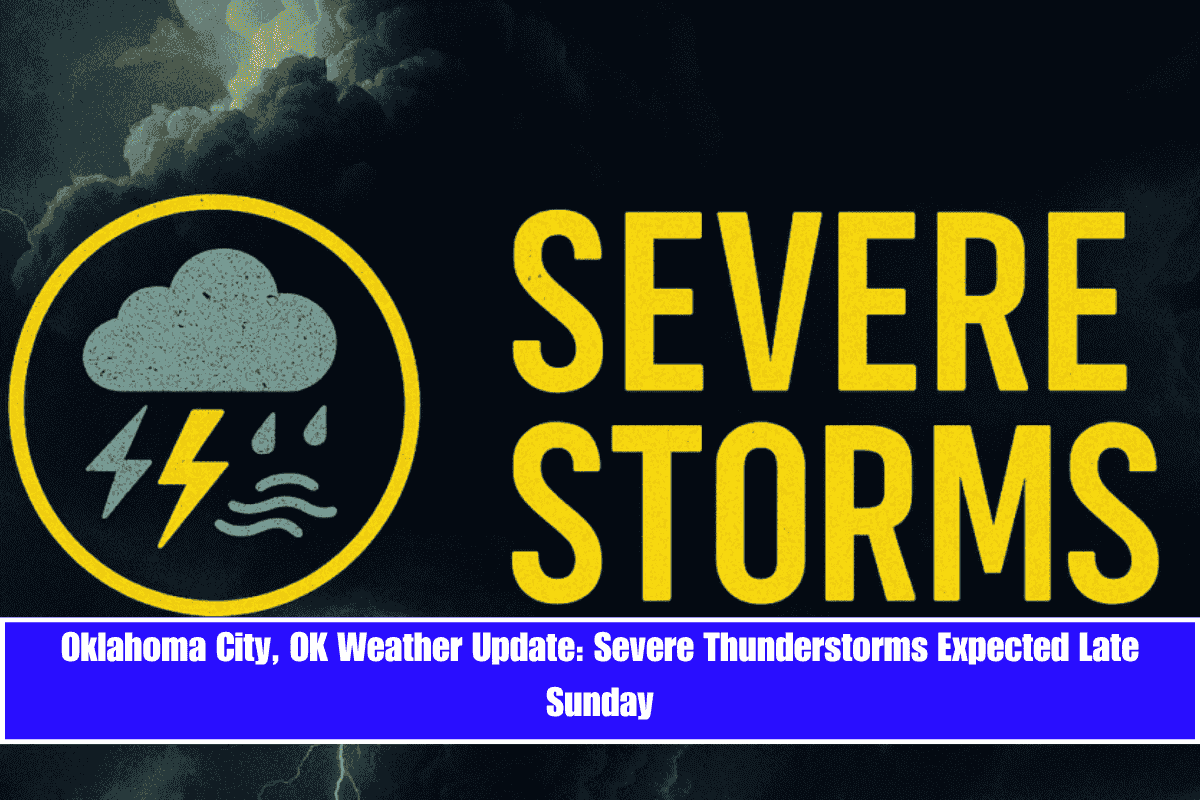
Severe thunderstorms could impact central Oklahoma late Sunday as a summer storm system brings high winds, lightning, and heavy rain. Residents in Oklahoma City and those traveling along I-40 and I-35 should expect downpours and potentially dangerous driving conditions starting after 4 p.m..
According to the National Weather Service, a 40% chance of storms begins Sunday afternoon, increasing to 70% by Sunday night. Some storms could be severe, with damaging wind gusts and intense lightning. Rainfall could exceed a quarter inch in localized areas. Storms are expected to diminish by early Monday morning.
By Monday, skies will clear, bringing sunny conditions with highs near 83°F. Light north winds will provide a brief respite before warmer temperatures and more summer instability return midweek.
Extended Outlook Through Friday:
- Tuesday: Mostly sunny, high near 87°F.
- Wednesday: Chance of showers and thunderstorms returns (40%) with highs near 82°F.
- Thursday: Thunderstorms likely before 1 p.m., then tapering to a 40% chance. High near 81°F.
- Friday: More scattered storms (30% chance) with highs near 83°F.
Safety Tips:
- Avoid outdoor plans late Sunday as storms approach.
- Ensure weather alerts are enabled on your devices.
- If driving, reduce speed and be cautious of water-covered roads.
Thunderstorm chances will linger into early Thursday, and another update will be issued if severe weather persists. Stay prepared as summer patterns shift quickly across Oklahoma.


