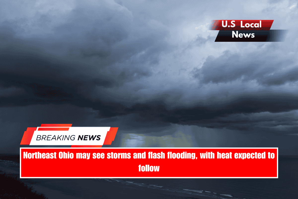
Cleveland, Ohio — This weekend, a potentially tense weather pattern will develop across Northeast Ohio, and residents should be prepared for a variety of hazards, according to the National Weather Service in Cleveland.
The NWS issued a Hazardous Weather Outlook early Saturday morning, predicting severe thunderstorms through Saturday night. The primary concern is damaging winds, but the storms may also bring torrential rainfall, resulting in localized flash flooding, according to the NWS.
Meteorologists warn that potential ‘training’ thunderstorms—storms that pass over the same area multiple times—can quickly overwhelm drainage systems and flood low-lying areas.
Beyond the weekend and into Monday, the region is expected to see peak heat index values in the mid-90s and possibly near 100 degrees, increasing the risk of heat-related illnesses early next week, according to the NWS.
The advisory covers a large portion of North Central, Northeast, and Northwest Ohio, including Cuyahoga, Erie, and Lorain counties, as well as northwest Pennsylvania.
Residents are advised to remain vigilant over the weekend, monitor local alerts, and take precautions as heavy rainfall and extreme heat move through the area.
Weather forecast through Monday:
Saturday: Showers and thunderstorms are expected throughout the day, with the highest likelihood between 3 and 5 p.m. The day will be partly sunny, with a high around 89 degrees, and heat index values could reach 97. Rain chances are 60%, with rainfall totals ranging from a tenth to a quarter of an inch, though higher amounts are possible in thunderstorms. Showers and storms are expected to continue into the evening, tapering off after 9 p.m. and resuming after 2 a.m.
Sunday: There is a 50% chance of showers and thunderstorms, primarily before 4 p.m., with a high around 86 degrees. The skies will clear somewhat Sunday night, with a low around 70 degrees.
Monday will be mostly sunny and hot, with highs around 91 degrees and a slight chance of showers and thunderstorms after 2 p.m. The chance of isolated storms remains Monday night, with lows around 73 degrees.