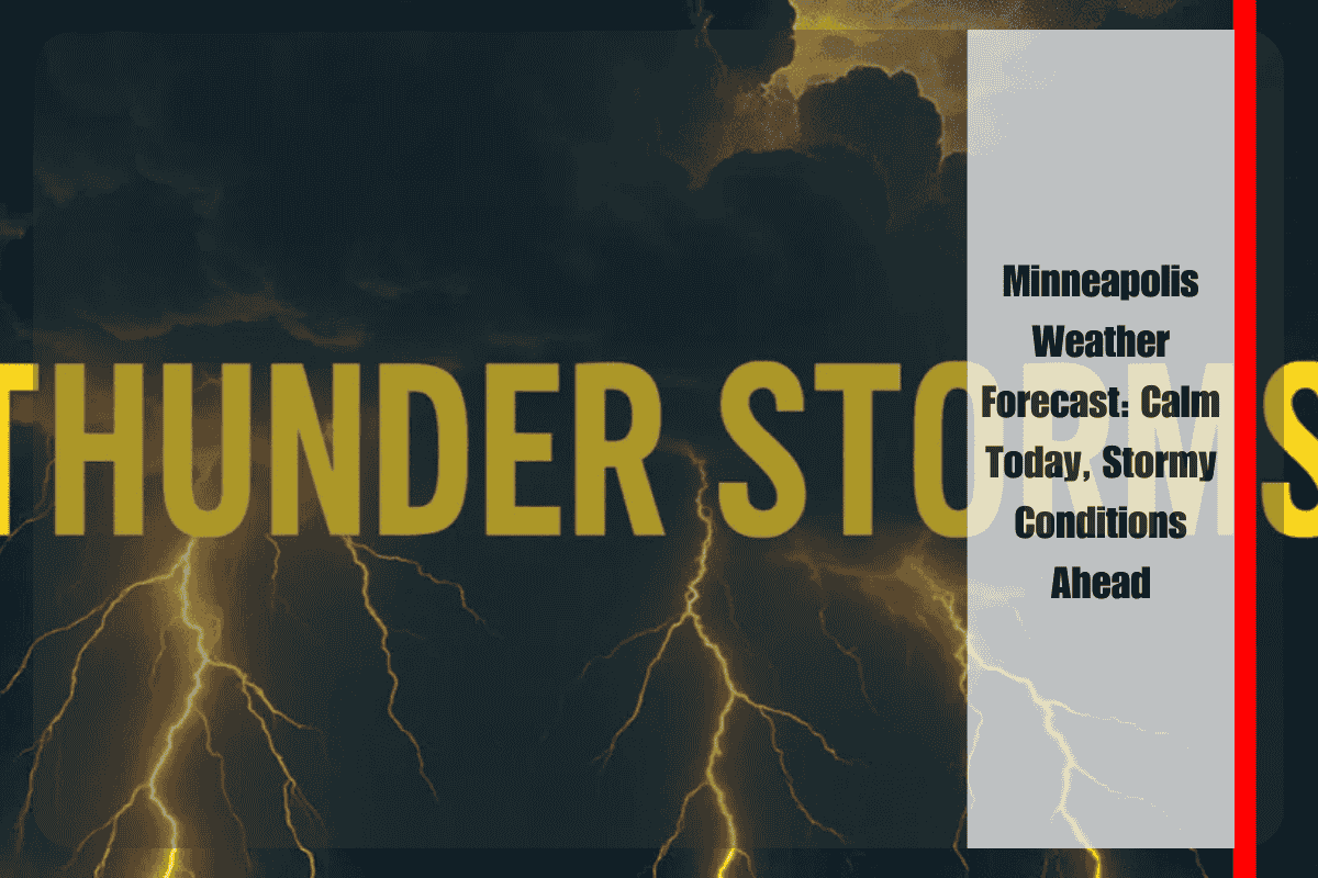
Sunny skies will dominate the Twin Cities today, with temperatures reaching near 80°F and lows around 62°F, offering a final stretch of calm before unsettled weather moves in. According to the National Weather Service in Twin Cities, a stalled frontal boundary will bring rain chances starting early Thursday morning and lasting through the weekend. This system is expected to bring multiple rounds of thunderstorms, some of which could produce heavy rainfall, especially across central and southern Minnesota.
On Thursday, storm activity may impact morning commuters along major routes like I-94, Highway 52, and other busy roads, with rain chances ranging from 20-40%. Friday and Saturday will bring similar odds for scattered showers and storms, which could affect outdoor events, boating plans on area lakes, and agricultural work in rural counties.
Residents should keep an umbrella or rain jacket handy, check road conditions before heading out, and be prepared for rapid ponding on streets during heavier downpours. With lightning also a risk, it’s crucial to move indoors at the first sign of thunder.


