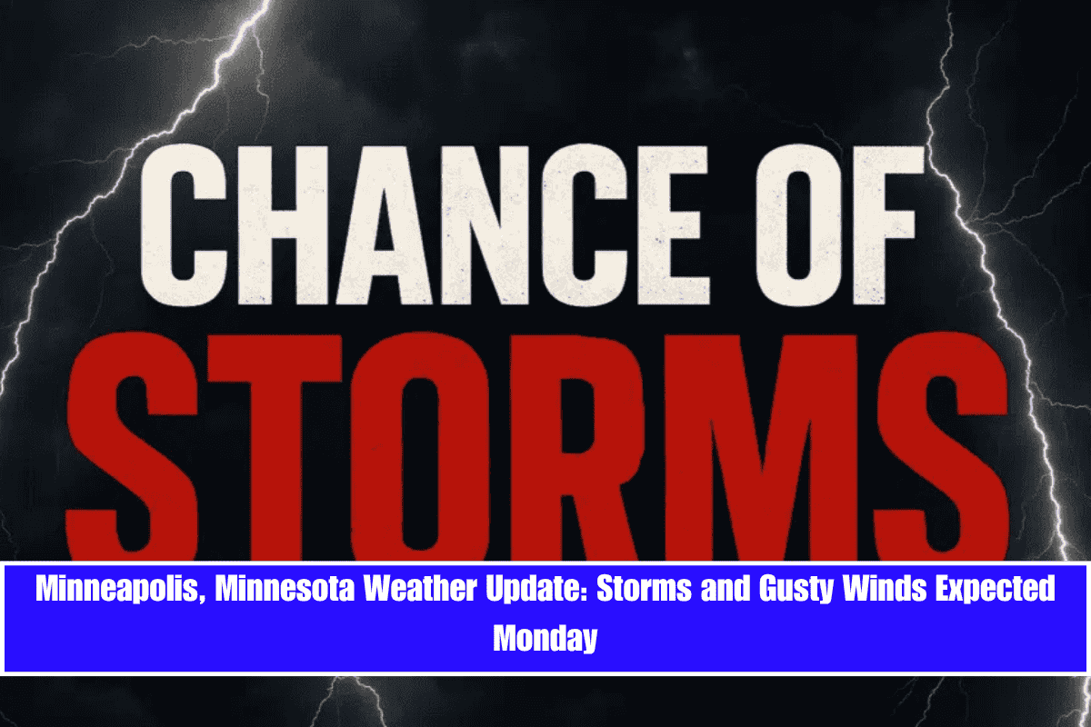
Storms are set to hit parts of Minnesota Monday, bringing rainfall, gusty winds, and lightning to the Twin Cities by midday.
According to the National Weather Service, showers and possibly a thunderstorm will move through Minneapolis between 7 a.m. and 4 p.m. Monday, with an 80% chance of precipitation. Northwest winds up to 15 mph may accompany the rain, potentially disrupting travel along I-94 and Highway 62. Additionally, air quality concerns remain, as lingering smoke from Canadian wildfires could impact sensitive groups.
What to Expect:
- Monday: High of 66°F, with stormy conditions and possible travel disruptions.
- Monday Night: Clearing skies with a low of 52°F under partly cloudy skies and calmer winds.
Tuesday through Friday Preview:
- Tuesday: Sunny with a high near 79°F, the warmest day of the week.
- Wednesday: Afternoon rain returns, with a 60% chance of storms by Wednesday night.
- Thursday & Friday: Thunderstorms increase, with a 50% chance of rain on both days, highs in the mid to upper 70s, and light, variable winds.
Air Quality Alert:
- Sensitive groups are advised to limit outdoor activity through Sunday night due to the ongoing Air Quality Alert. The alert may be extended into Monday if smoke concentrations remain high.
Stay weather-aware and monitor for updated advisories as daily rain chances persist through the workweek.


