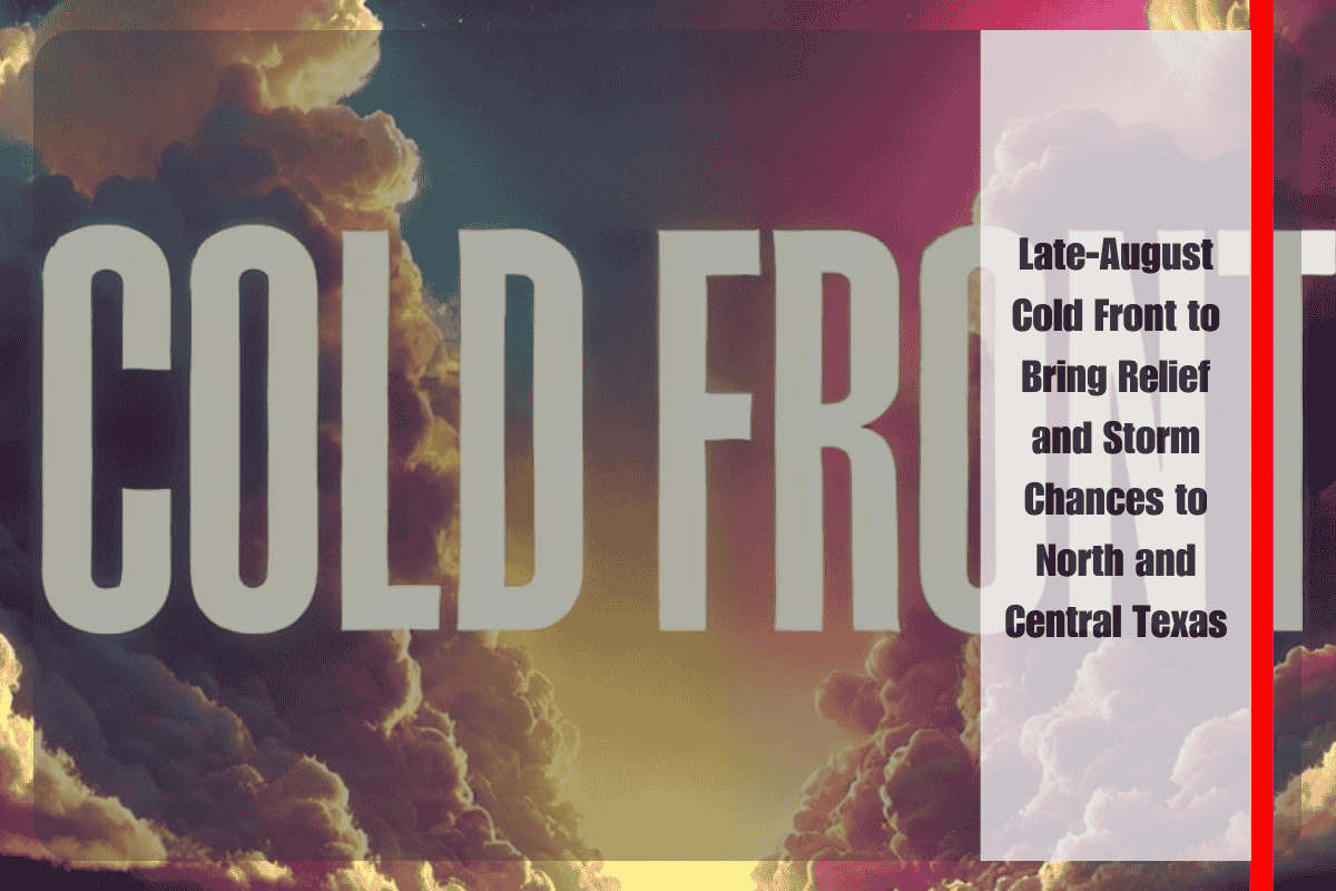
As summer heat typically grips Texas well into September, a welcome break is on the horizon. According to the National Weather Service in Fort Worth, a strong late-August cold front is set to sweep across North and Central Texas early next week, ushering in cooler-than-normal temperatures and increased chances for rain.
Cold Front Brings a Temperature Drop
By Monday, high temperatures across the Dallas–Fort Worth Metroplex will begin to dip from the mid-90s into the low 90s. As the front settles in, readings will fall further into the mid-80s to near 90 through Wednesday. This cooling trend will be a noticeable departure from the region’s typical late-summer heat, offering residents some much-needed relief.
Overnight lows will also trend cooler, slipping into the upper 60s and low 70s across DFW and southward into the Waco-Temple-Killeen corridor. For many, this will mark the most comfortable nighttime conditions in weeks.
Rain Returns with the Front
Along with cooler temperatures, the front will reintroduce rain chances. The best opportunity for showers and thunderstorms arrives Tuesday and Wednesday, when storm coverage could reach 40 to 60 percent across much of North and Central Texas.
Storms are not expected to be widespread or severe, but they could bring brief downpours, lightning, and occasional gusty winds. Drivers in Dallas, Fort Worth, and along the I-35 corridor toward Waco should prepare for wet commutes midweek and allow extra travel time during heavier showers.
Impacts on Outdoor Activities
While the front will deliver welcome relief from the heat, it will also create uncertainty for outdoor plans. Residents are advised to remain flexible, monitor local forecasts, and check for lightning before heading outside. Pools, parks, and outdoor venues may experience weather-related interruptions Tuesday through Thursday as storms continue to develop in scattered fashion.
For those with outdoor furniture, sports practices, or yardwork planned, it’s wise to keep rain gear handy and have backup plans in place.
A Prolonged Stretch of Cooler-Than-Normal Weather
Forecasters note that cooler conditions may persist into next weekend. While rain chances could decrease by Friday, the possibility of additional showers cannot be ruled out entirely. Highs are likely to remain below seasonal averages, holding in the 80s, while nights stay comfortably mild.
This early taste of fall weather offers a reminder that seasonal change is just around the corner, even if September often brings a final round of heat.
Five-Day Outlook for North and Central Texas:
- Monday: Highs in the low 90s, lows in the low 70s. Isolated showers possible.
- Tuesday: Highs in the mid to upper 80s, scattered showers and storms (40–60%), lows upper 60s to low 70s.
- Wednesday: Highs mid-80s to near 90, scattered storms (40–60%), lows upper 60s.
- Thursday: Partly cloudy with lingering storms, highs upper 80s, lows upper 60s.
- Friday: Mostly dry but not as hot, highs upper 80s to near 90, lows upper 60s.


