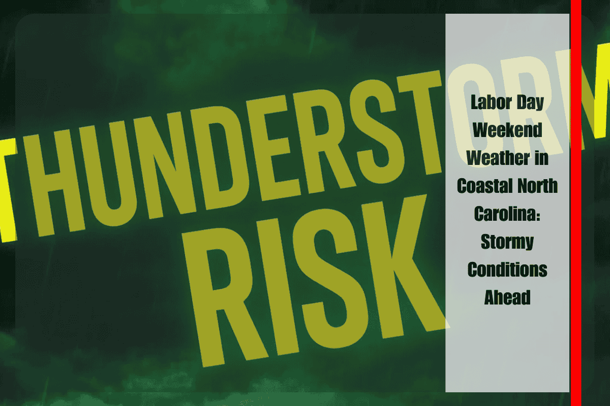
Travelers heading into Labor Day weekend in coastal North Carolina should prepare for stormy conditions starting Saturday night. With rain and thunderstorms expected through early next week, holiday travel along U.S. 70 and surrounding highways could be disrupted. Safety officials are urging drivers to plan ahead for potential delays and hazardous conditions.
Weather Outlook: Storms Building Over the Weekend
According to the National Weather Service (NWS) office in Morehead City, a slight chance of storms will begin to develop on Saturday afternoon. However, stronger showers are expected to move in on Sunday and continue into Tuesday, with the greatest risk for rain and thunderstorms occurring on Sunday afternoon and evening.
Saturday: Mostly Sunny with Showers Possible Later
Saturday will begin with mostly sunny skies, with highs reaching the mid-80s. While most of the day should remain dry, storms are expected to approach after sunset, bringing the possibility of brief downpours and thunderstorms. These evening storms could cause localized flooding and reduce visibility on the roads, so drivers should be cautious if traveling late in the day.
Sunday: Showers and Thunderstorms Likely After 2 p.m.
Sunday will see an increase in storm activity, particularly after 2 p.m., with showers and thunderstorms becoming more widespread. Highs will be near 81 degrees. A second round of scattered storms may develop late Sunday night, leaving roads slick and travel conditions more difficult for late-night drivers. Those heading out in the evening should be prepared for sudden changes in weather and reduced visibility.
Labor Day Monday: Dry Morning, But Showers Possible in the Afternoon
Labor Day will begin mostly sunny and dry, with highs around 80°F, providing a pleasant start to the day. However, there’s a chance of additional showers and storms developing later in the day, keeping conditions unsettled into the evening. Despite the storm chances, Monday morning should be a great time for outdoor plans.
Tuesday: More Showers and Storms Possible
Tuesday will bring another round of showers and thunderstorms, with highs again around 80°F. While the rainfall should remain light in most areas, the storms could bring brief heavy downpours and thunder, particularly along the coast. The unsettled weather is expected to persist through midweek, so more advisories may be issued as conditions evolve.
Travel and Safety Tips
- Monitor Weather Updates: Travelers are advised to keep an eye on weather updates from the National Weather Service, as conditions could change rapidly. Stay informed about road closures, delays, and storm warnings.
- Avoid Driving During Storms: If possible, avoid unnecessary travel during thunderstorms. Wet roads can lead to slick conditions and reduced visibility, making driving hazardous.
- Secure Outdoor Items: With potential downpours and gusty winds, it’s a good idea to secure outdoor furniture and other loose items that could be damaged by storms.
Five-Day Forecast for Newport, NC:
- Saturday: Mostly sunny, high 84°F. Showers possible late.
- Sunday: Showers and thunderstorms after 2 p.m., high 81°F.
- Labor Day Monday: Mostly sunny early, high 80°F.
- Tuesday: Showers and storms possible, high 80°F.
- Wednesday: Scattered storms, mostly cloudy, high 83°F.


