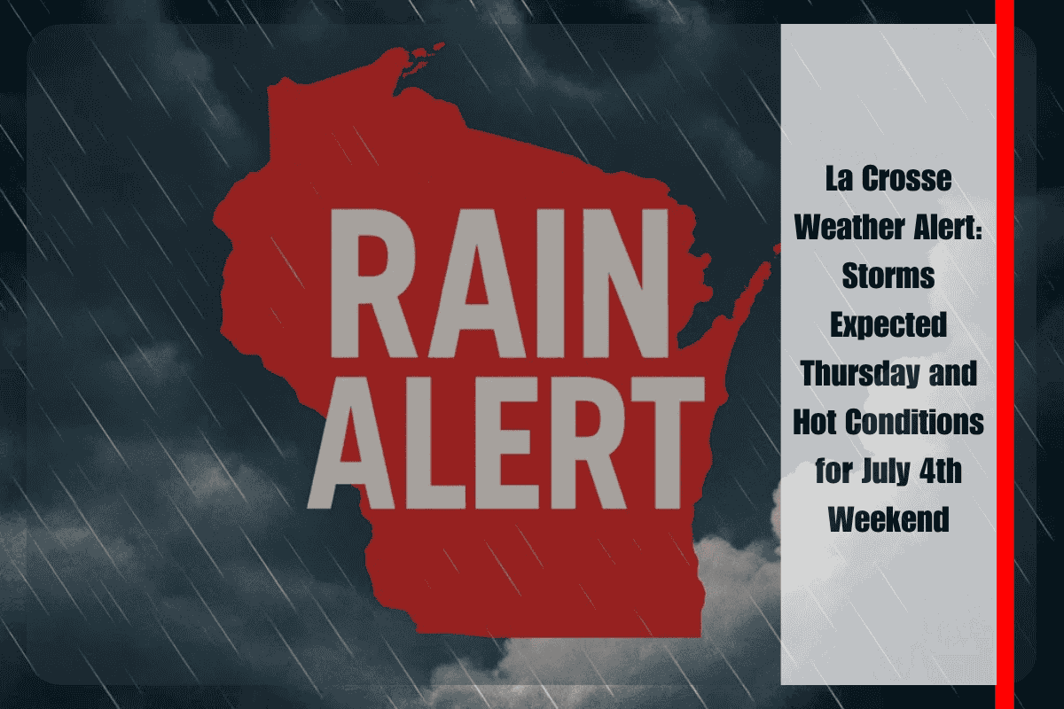
La Crosse, Wisconsin, is bracing for the return of stormy weather Thursday afternoon, with the potential for strong thunderstorms. The National Weather Service in La Crosse reports that storms may develop after 4 p.m., bringing hail up to a quarter inch and wind gusts reaching 40 mph. The highest risk of severe weather is expected to occur along and east of Highway 61, particularly during the evening commute. While widespread damage is not anticipated, brief disruptions to travel and outdoor plans are possible.
Storm Risks Thursday Afternoon
Residents of La Crosse should prepare for potential disruptions in the late afternoon and evening hours as the storms move through. Hail and gusty winds are the primary concerns, though the storms are expected to be brief. If you’re traveling or have outdoor plans, keep an eye on weather updates to stay informed and ready for any sudden changes.
Break in the Weather on Friday
Friday brings a brief break from the storms, with mostly clear skies and a high near 91°F. However, the heat index could approach 95°F by late afternoon, making it feel even hotter. Local officials are urging residents to stay hydrated, avoid prolonged exposure to the sun, and avoid leaving pets or children in vehicles as temperatures rise.
Looking Ahead to the July 4th Weekend
The July 4th weekend brings more chances for storms, with Saturday being the most active day. There is a 70% chance of storms, with gusts up to 21 mph expected. Severe thunderstorms could occur between 2 p.m. and 10 p.m., so it’s important to stay weather-aware. Sunday begins dry but will see a 30% chance of late showers in the evening. Monday through Wednesday will follow a similar pattern, with thunderstorms expected each day, peaking again on Tuesday afternoon.
Five-Day Forecast for La Crosse (July 4–9)
Friday, July 4: Mostly sunny, high near 91°F, heat index up to 95°F.
Saturday, July 5: 70% chance of storms, high near 87°F, wind gusts up to 21 mph.
Sunday, July 6: Partly sunny early, then a 30% chance of storms late, high near 86°F.
Monday, July 7: 20% chance of storms, high near 82°F.
Tuesday, July 8: 40% chance of storms, high near 84°F.
Preparing for the Weekend Weather
With storms likely returning on Saturday, and continued chances of thunderstorms through early next week, it’s important to stay updated on the weather. Keep an eye on local alerts and be prepared for brief disruptions to travel or outdoor events, especially in the afternoon and evening hours. Stay hydrated and safe, particularly as temperatures rise heading into the weekend.


