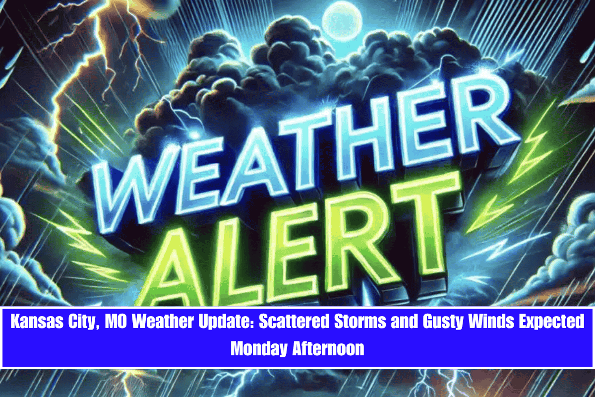
Scattered storms could impact parts of western Missouri by mid-afternoon Monday, bringing gusty winds and a chance of power disruptions.
According to the National Weather Service in Pleasant Hill, a 50% chance of showers and thunderstorms will arrive in Kansas City after 1 p.m. Monday, with wind gusts reaching up to 21 mph. While rainfall totals will likely stay under a tenth of an inch, quick downpours or lightning could disrupt travel, especially along I-70 and I-435 during the evening commute.
What to Expect:
- Monday Afternoon: Thunderstorms with gusty winds and potential travel disruptions.
- Monday Night: Skies clear with winds shifting northwest at 5 to 7 mph, bringing dry conditions for Tuesday.
Extended Forecast:
- Tuesday (June 10): Sunny and dry, high near 85°F.
- Wednesday (June 11): Hot, sunny, and breezy, high near 89°F.
- Thursday (June 12): Rain chances return, with a 40% chance of storms by afternoon, high near 83°F.
- Friday (June 13): Continued unsettled, 50% storm chance and muggy, high near 83°F.
- Saturday (June 14): More scattered storms, 40% chance, highs in the mid-80s.
Storms remain a daily possibility through Friday. Residents are advised to charge devices, monitor weather alerts, and avoid flooded low-water crossings if rainfall intensifies. Stay prepared for changing conditions as summer storms continue to affect the region.


