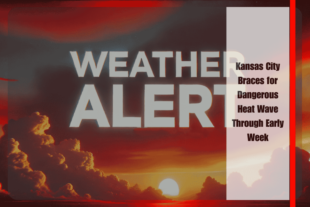
Kansas City, Mo. – Dangerous late-summer heat will grip Missouri through the weekend and into early next week, with temperatures pushing into the upper 90s by Saturday and lingering in the 90s until midweek.
According to the National Weather Service in Kansas City, highs on Saturday could reach the upper 90s, with some northern Missouri locations feeling even hotter. The heat will persist Sunday through Tuesday, with highs in the low to mid-90s before easing slightly by Wednesday.
Storm Chances Sunday Night
Forecasters also warned of a chance for showers and thunderstorms late Sunday into early Monday, particularly across northeast Kansas and northwest Missouri. While widespread rain isn’t expected, localized downpours and lightning could disrupt evening events and early Monday commutes.
Drivers across the Kansas City metro and surrounding highways should plan for hot pavement and possible reduced visibility in heavier storms Sunday night.
Safety Precautions
Residents are urged to:
- Stay hydrated and limit outdoor activity during peak afternoon hours.
- Check on neighbors and vulnerable populations without reliable cooling.
- Be alert for possible heat advisories into next week.
Five-Day Forecast for Kansas City, Mo.
- Saturday: Sunny, high 97°
- Sunday: High 95°, evening storms possible
- Monday: High 93°, scattered morning showers
- Tuesday: High 92°, mostly sunny
- Wednesday: High 86°, cooler with lower humidity


