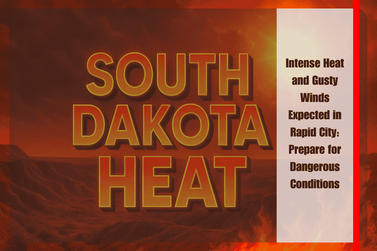
Rapid City, South Dakota, is facing an extreme weather scenario this weekend as blistering heat and gusty winds are expected to make conditions potentially hazardous. With temperatures nearing 103°F on Friday, combined with winds of up to 35 mph, residents are being warned to take precautions to avoid heat-related illnesses and fire risks.
Friday’s Heat and Wind Threat
According to the National Weather Service, temperatures on Friday will soar to 103°F, with strong southwest winds picking up through midday. These winds will strengthen and peak between 15–25 mph, with gusts reaching 35 mph by 3 p.m. This combination of intense heat and dry winds will significantly increase the fire danger in the area. Visibility may also become an issue, especially along major routes like I-90 and U.S. Route 16, as dust or smoke could reduce drivers’ ability to see clearly. Residents are strongly advised to limit outdoor activity, stay hydrated, and secure any loose items that could be blown around in the gusty winds.
Saturday’s Continued Heat and Wind
The scorching heat will continue into Saturday, with temperatures expected to hit around 100°F. Winds will shift slightly to the north but will still gust up to 30 mph, maintaining the heightened fire risk. While the heat will be slightly less intense than Friday, it will still be dangerously hot, making it important for locals to take precautions to avoid heat exhaustion.
Sunday Brings Relief with Cooler Temperatures and Showers
Sunday will bring a much-needed break from the heat, with the temperature dropping to a high of 78°F. However, the day will still be breezy, and there is a 30% chance of showers developing by the afternoon. This will bring some relief from the extreme conditions but may also cause brief periods of rain and wind.
Wetter Conditions Ahead: Monday and Tuesday
Looking ahead to Monday and Tuesday, Rapid City is expected to experience more moderate temperatures around 71°F. A wetter pattern will develop, with a 40–50% chance of storms. Some of these storms may bring brief heavy rain and gusty winds, particularly on Tuesday afternoon, when the atmosphere is expected to become more unstable. This could lead to sudden changes in weather conditions, so residents should stay alert and be prepared for any weather-related disruptions.
Rapid City is bracing for a stretch of extreme weather, starting with dangerously high temperatures and gusty winds on Friday and Saturday, followed by cooler and wetter conditions later in the weekend. Locals should plan accordingly for the heat and fire risks, but also be prepared for sudden shifts in weather as showers and storms return early next week.


