Indianapolis, Indiana – A pattern of afternoon thunderstorms and a slow warming trend will keep Indiana residents on alert through Wednesday. These storms could produce heavy downpours, cloud-to-ground lightning, and in some cases, gusty winds. The storms are expected to develop nearly every afternoon and evening, with the potential to impact travel, particularly on major highways like I-65 and I-69, and local routes in Marion, Hamilton, and Hendricks counties.
Thunderstorm Hazards and Travel Impact
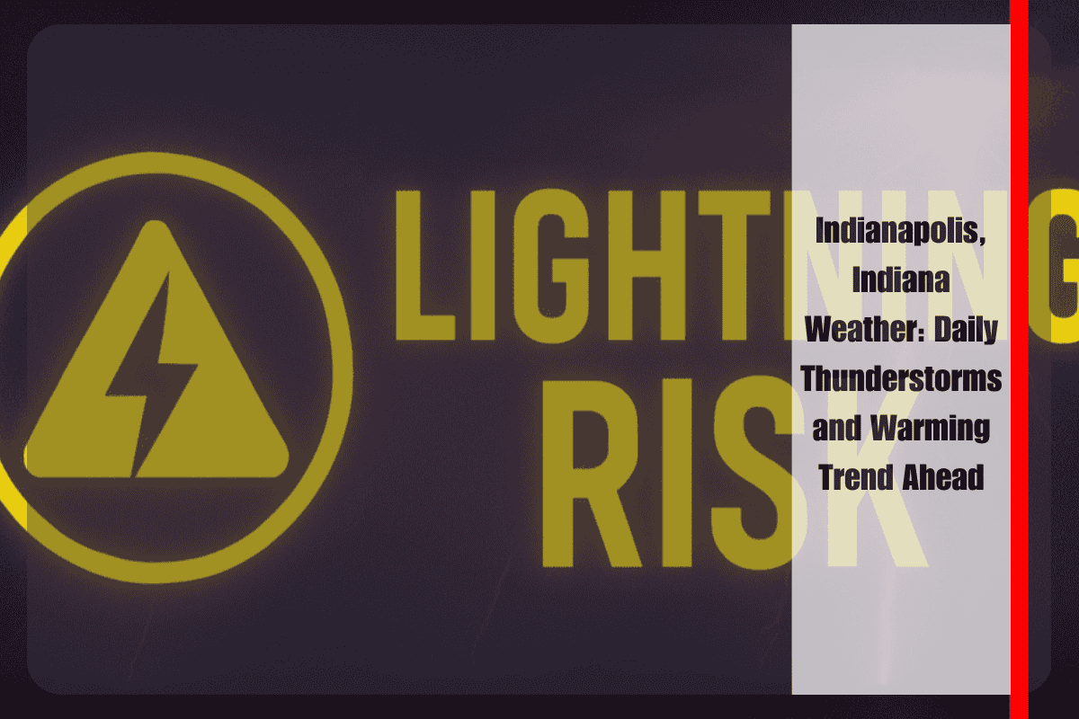
While storms will be scattered, heavy rainfall could lead to ponding on roads and brief visibility issues, especially during the evening commute. The National Weather Service has warned that lightning poses a significant risk, so it’s important for residents to stay weather-conscious and avoid outdoor activities when thunder is heard.
Residents of Indianapolis, Bloomington, and Muncie are advised to secure loose outdoor items and consider charging mobile devices ahead of potential power outages. Outdoor plans should be reconsidered during the afternoon and early evening when the risk of lightning is at its highest.
Warming Trend and Midweek Relief
The chance of thunderstorms will decrease by midweek, but the warming trend will continue, pushing daytime highs into the low 80s, signaling a hot and humid stretch ahead. If storms intensify, the National Weather Service may issue additional advisories.
Five-Day Forecast for Indianapolis, Indiana:
- Tonight: Partly cloudy, lows between 58°F and 66°F.
- Monday: Partly sunny with scattered storms, highs 79°F to 83°F, lows 62°F to 67°F.
- Tuesday: Thunderstorms likely, highs 80°F to 83°F, lows 62°F to 67°F.
- Wednesday: Scattered storms, highs 81°F to 86°F, lows 63°F to 68°F.
- Thursday: Partly sunny, warm and humid, highs in the mid-80s.
Be sure to stay informed and prepared for daily storms and increasing heat through the week. Stay tuned for updates and additional weather advisories.


