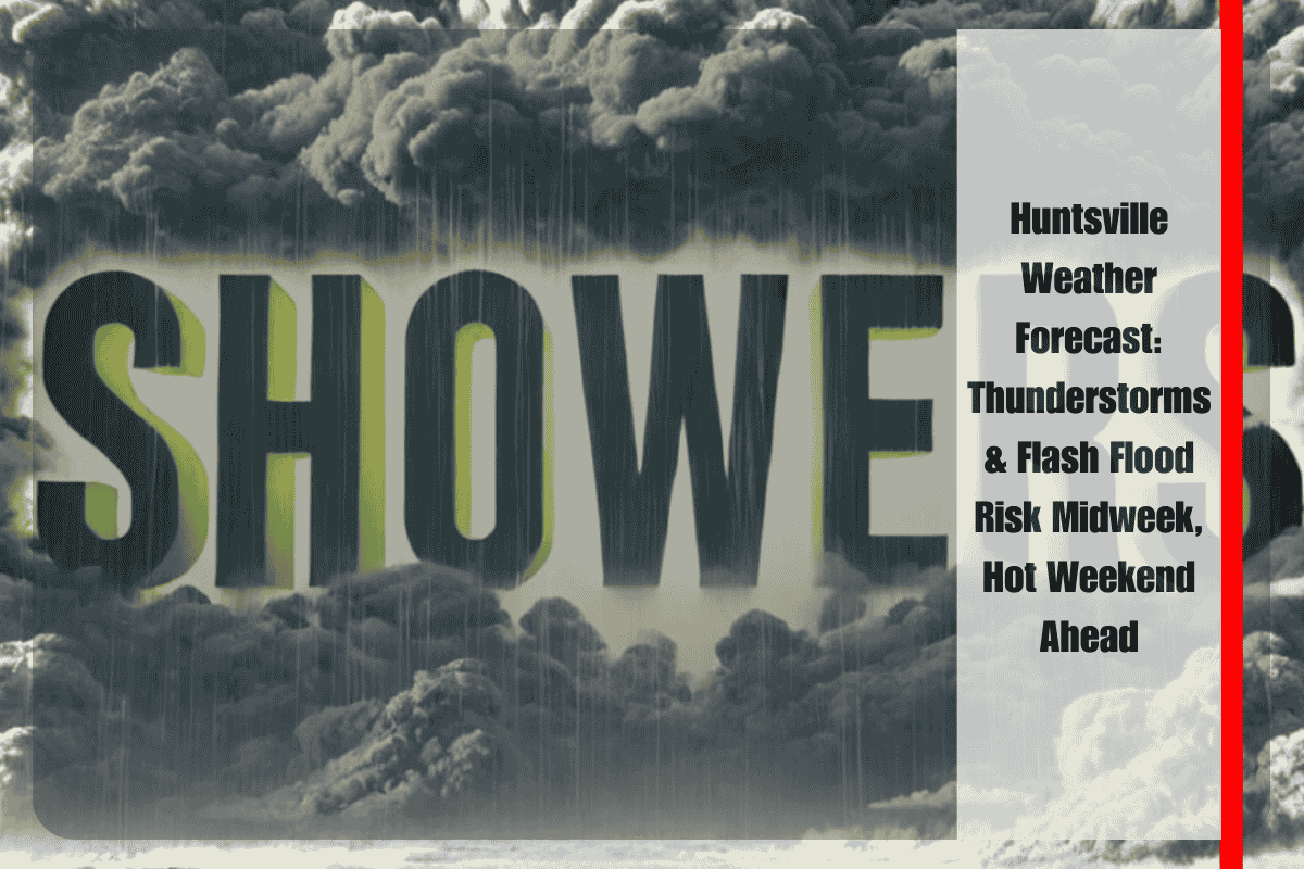
North Alabama, including Huntsville, is set to experience slow-moving thunderstorms Wednesday and Thursday, which could bring locally excessive rainfall and raise the risk of flash flooding in low-lying and poor-drainage areas. Some communities may face repeated downpours that could disrupt travel and outdoor plans. According to the National Weather Service in Huntsville, the greatest storm activity will occur on Wednesday, with a 50-80% chance of showers and thunderstorms, while Thursday will see a slight reduction in coverage (30-40%).
Temperatures will climb into the upper 80s to low 90s, with some spots reaching the mid-90s by Thursday. Overnight lows will remain mild, in the upper 60s to low 70s.
The main hazards include ponding on roads, slower commutes, and the potential for street flooding. Drivers are strongly urged to avoid water-covered roadways, and those with outdoor plans should be prepared for possible delays. Residents should stay informed and monitor NOAA Weather Radio or local alerts for any flash flood warnings, as storms may cause localized flooding.
After Thursday, storm chances will decrease significantly, giving way to a stretch of hot and partly cloudy weather for the weekend. Highs will soar into the mid-90s on Saturday, with a slight rain chance on Sunday.
Here’s the detailed 5-day forecast for Huntsville:
Wednesday: Showers & thunderstorms, 50-80% chance. High 81-91°F, Low 68-73°F.
Thursday: Showers & thunderstorms, 30-40% chance. High 83-93°F, Low 68-73°F.
Friday: Showers & thunderstorms, 20-30% chance. High 85-94°F, Low 68-73°F.
Saturday: Partly cloudy and hot. High 86-96°F, Low 69-74°F.
Sunday: Showers & thunderstorms, 10-20% chance. High 85-95°F, Low 68-74°F.


