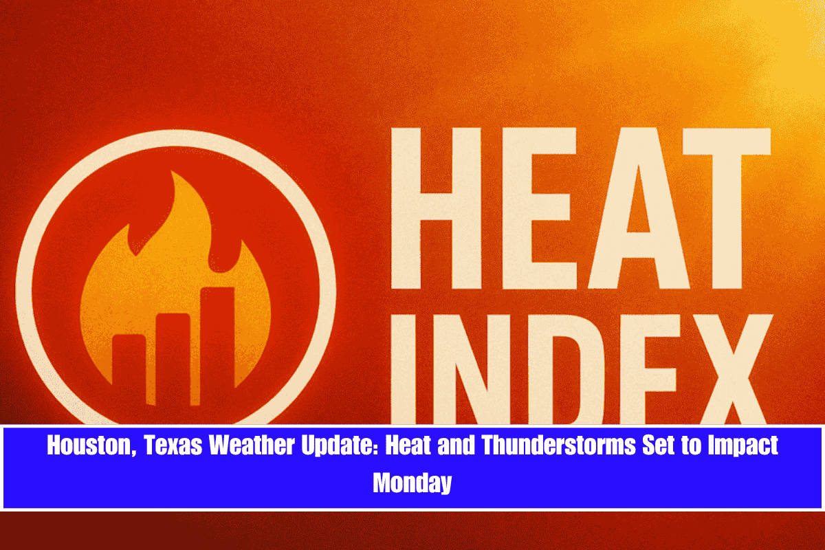
Sweltering heat and the return of thunderstorms could make Monday a tough start to the workweek across Houston and surrounding areas. A summer weather alert is in effect as the National Weather Service warns of heat index values peaking near 105°F, followed by scattered afternoon thunderstorms beginning after 1 p.m..
What to Expect on Monday:
- Morning: Mostly sunny skies.
- Afternoon: 20% chance of showers and storms after 1 p.m.. Temperatures will reach 94°F, but the humidity and south winds will make it feel significantly hotter. Wind gusts may reach up to 20 mph, particularly along major routes like I-69 and I-10, where sudden downpours could reduce visibility and increase the risk of accidents.
- Evening: Storm chances continue, with temperatures dipping only slightly into the upper 70s.
Midweek Outlook:
- Tuesday and Wednesday: Thunderstorm risks increase, with 50% chance of storms on Tuesday and 60% chance on Wednesday, particularly in the afternoon and evening. Precipitation could lead to temporary flooding in low-lying areas and congested roadways, especially near Downtown Houston and Harris County’s flood-prone intersections.
Safety Tips:
- Limit outdoor activity during peak heat.
- Drink plenty of fluids and stay hydrated.
- Avoid non-essential travel during storm hours.
- Charge devices and have backup lighting available in case of power disruptions.
Five-Day Outlook (June 8–13):
- Sunday: Sunny, high near 95°F.
- Monday: Storms possible after 1 p.m., high near 94°F.
- Tuesday: 50% chance of storms, high near 93°F.
- Wednesday: 60% chance of storms, high near 89°F.
- Thursday: 50% chance of storms, high near 89°F.
More showers are expected Thursday and Friday, with storm chances lingering into Saturday, June 14. Stay tuned for new alerts as the week progresses.


