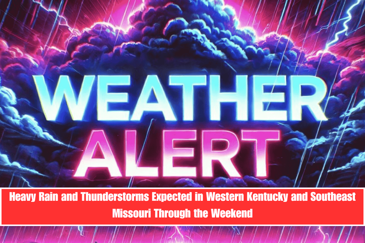
Residents of western Kentucky and southeast Missouri should prepare for daily showers and thunderstorms starting Wednesday and lasting through the weekend. Some areas could receive up to 3 inches of rain by Sunday, leading to wet and potentially hazardous conditions.
Rain Chances Increase Midweek with Strong Storms Possible Friday
The National Weather Service in Paducah says rain chances will rise steadily starting Wednesday morning. By Thursday and Friday, most places will have a 50 to 75 percent chance of rain. Friday looks particularly active, with isolated stronger storms possible in spots like Henderson, Marion, and Mount Vernon, where rain chances could exceed 75 percent around midday.
Cities Likely to See Frequent Rainfall and Possible Flooding
Cities including Paducah, Owensboro, and Carbondale will likely experience daily rain. This could cause soggy commutes, water pooling on roads, and minor flash flooding in low areas. Rural roads and farmland near the Ohio and Mississippi rivers may become very wet and difficult to pass by the end of the week.
Safety Tips for Residents
People are urged not to drive through standing water and to keep their phones charged in case of power outages caused by lightning. While severe weather is not guaranteed, Friday’s storms could bring gusty winds and heavy rain in some places.
Active Weather Pattern Expected to Continue
This wet and stormy weather pattern may last into early next week. Authorities may issue more alerts or warnings if rain totals increase or stronger storms develop.
Five-Day Forecast for Western Kentucky and Southeast Missouri
Wednesday, June 4: Scattered showers by afternoon with a 30–55% chance of rain. Highs in the mid-70s.
Thursday, June 5: Thunderstorms likely all day with a 50–75% chance. Highs near 78°F.
Friday, June 6: Stronger storms possible with a 65–80% chance of rain. Highs in the low 80s.
Saturday, June 7: Periodic showers expected with a 30–45% chance. Cooler with highs in the mid-70s.
Sunday, June 8: Showers continue with a 20–45% chance. Breezy, highs in the upper 70s.
Daily thunderstorms and heavy rain are expected through the weekend in western Kentucky and southeast Missouri, with possible flooding in low-lying areas. Stay safe and avoid driving through water.
Keywords: western Kentucky rain, southeast Missouri storms, Paducah weather forecast, thunderstorms June 2025, flood risk Kentucky, weekend rain forecast


