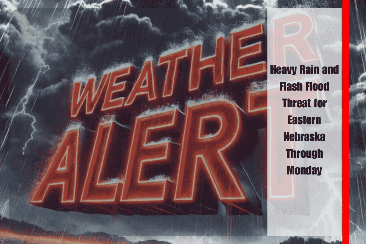
Omaha, Nebraska – Residents across eastern Nebraska are preparing for a potentially dangerous stretch of weather as heavy rainfall and flash flooding loom over the region through Monday morning. Forecasters with the National Weather Service in Omaha warn that some communities could see more than 4 inches of rain, with localized totals exceeding 6 inches in areas where storms repeatedly pass over the same locations.
The greatest flood potential is expected west of Highway 81, where storm cells may stall and drop rain at intense rates, reaching 1 to 2 inches per hour at times. This concentrated rainfall, particularly overnight, raises the risk of flash flooding in low-lying and poorly drained areas.
Meteorologists estimate a 70% chance that eastern Nebraska and western Iowa will pick up at least 4 inches of rain before Monday. The precise placement of the heaviest rainfall band remains uncertain, but forecast maps highlight bright orange and red zones indicating the most significant flood risks.
Urban areas, including Lincoln and surrounding counties such as Lancaster and Seward, are particularly vulnerable to flash flooding. Temporary road closures, flooded intersections, and localized ponding may disrupt travel, especially during peak downpours. Emergency officials urge drivers to avoid flooded roads, reminding the public that “Turn Around, Don’t Drown” remains the safest approach.
Rainfall rates may spike between 1.5 and 2 inches per hour overnight, though hourly averages closer to 1 inch are more likely. Even at lower rates, repeated heavy showers can quickly overwhelm storm drains and streams, heightening the risk of flooding.
Residents are encouraged to charge phones and devices, prepare for the possibility of power outages, and take steps to protect basements and properties from flooding. Sandbags and sump pumps may be critical in vulnerable areas.
Rain chances will persist through Sunday night, with additional rounds of storms expected. Flash Flood Watches are possible into early Monday, and officials stress that updated forecasts could shift flood-prone areas as the storm track evolves.
For now, communities across eastern Nebraska and western Iowa should prepare for a wet, stormy, and potentially hazardous Labor Day weekend, keeping a close eye on alerts as conditions develop.


