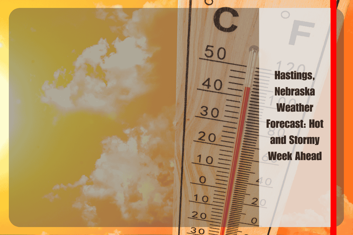
Hastings residents are gearing up for one of the hottest days of July, with temperatures expected to soar to 93°F on Monday, July 14. As summer sizzle sets in, locals should stay weather-aware as conditions shift by Tuesday, bringing a mix of heat, thunderstorms, and possible flooding.
What to Expect on Monday
The National Weather Service predicts a sunny Monday with a high of 93°F and south winds at 5-10 mph. It’s the perfect day for summer activities, but the heat may be challenging for outdoor workers and vulnerable residents, particularly those without air conditioning.
Commuters along US-6 and US-34 should be prepared for high temperatures and stay hydrated throughout the day.
Weather Shift on Tuesday
By Tuesday, July 15, expect a 40% chance of showers and thunderstorms, particularly in the evening and overnight hours, as cooler air moves into the region.
This could lead to wet roads and rapidly changing weather, so drivers are urged to be cautious during the Tuesday evening commute. There is also a risk of minor flooding in low-lying areas due to heavy rainfall. It’s best to avoid unnecessary travel on US-34 and county routes after sunset.
Summer Heat and Safety
The intense heat on Monday and Tuesday may put a strain on local utilities, especially with increased demand for air conditioning. Officials recommend staying hydrated, checking on elderly neighbors, and limiting outdoor activities during the hottest parts of the day.
Wednesday to Friday: A Slight Break
By Wednesday, July 16, Hastings will see a slight break from the extreme heat, with temperatures dropping to a more manageable 85°F. The chance of storms is low at 20%. Thursday and Friday will bring more typical summer weather, with highs in the low 80s and a 30% chance of afternoon storms.
Five-Day Forecast for Hastings, NE (July 14–18)
Monday, July 14: Sunny, high near 93°F, south wind at 5–10 mph.
Monday Night: Mostly clear, low around 68°F.
Tuesday, July 15: 40% chance of thunderstorms, high near 93°F.
Tuesday Night: 40% chance of thunderstorms, low around 66°F.
Wednesday, July 16: Mostly sunny, high near 85°F, 20% chance of storms.
Thursday, July 17: Mostly sunny, high near 80°F, slight chance of storms.
Friday, July 18: Partly cloudy, high near 86°F, 30% chance of afternoon storms.
Stay Weather-Aware
While the heat will be intense at the start of the week, conditions will cool down midweek, providing some relief. However, Tuesday night’s thunderstorms could create hazardous travel conditions, and the ongoing summer storms will likely continue through the end of the week.
Stay tuned for weather updates from the National Weather Service and ensure you have a severe weather plan in place.


