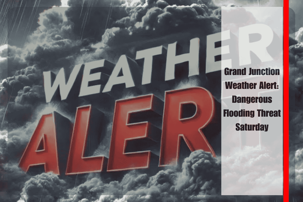
Residents of Grand Junction should prepare for dangerous flooding on Saturday as heavy rainfall targets western Colorado, bringing a significant risk to burn scar areas. Low-lying roads, including stretches of Interstate 70 through Mesa County, may flood quickly as storms deliver torrential rainfall throughout the evening.
According to the National Weather Service in Grand Junction, a Flood Watch remains in effect until midnight for portions of southwest and west-central Colorado, including Garfield, Eagle, Mesa, and Delta counties. Burn scars from recent fires, such as Deer Creek, Elk, and Turner Gulch, are at the highest risk for flash flooding. Forecasters warn that runoff could overwhelm creeks and streams, making travel hazardous.
Emergency officials urge drivers to avoid flooded roads and seek alternate routes if travel cannot be delayed. Residents in flood-prone areas should stay alert and be ready to move to higher ground if conditions worsen. It’s important to keep cell phones charged and avoid unnecessary travel in the evening.
Storms are expected to weaken overnight, allowing drier air to return by Sunday. The extended forecast shows sunshine with highs climbing into the 80s through midweek. Fire danger could increase next week as the region dries out.
The flood threat may taper off tonight, but officials caution that additional alerts could be issued if rainfall persists. Stay tuned to local updates for the latest advisories.
Five-Day Forecast for Grand Junction, CO
Sunday: Sunny, high near 79°F, low around 54°F.
Monday: Sunny, high near 85°F, low around 55°F.
Tuesday: Sunny, high near 84°F, low around 54°F.
Wednesday: Sunny, high near 86°F, low around 54°F.
Thursday: Mostly sunny, high near 84°F, low around 58°F.


