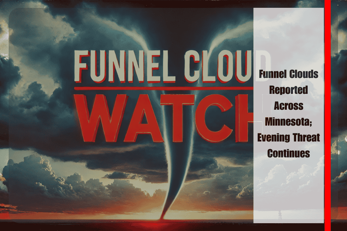
St. Paul, Minn. – Funnel clouds were spotted across portions of Minnesota Friday afternoon, and forecasters say the environment remains favorable for additional development into the evening. The National Weather Service in the Twin Cities warns that lingering showers and weak thunderstorms could still spin up more funnels through tonight as pockets of low-level rotation persist.
Meteorologists note that the atmosphere is primed for rotating clouds, with multiple reports confirmed in central and southern Minnesota. While most funnel clouds are typically short-lived and weak, they can briefly touch down as tornadoes, especially if a stronger cell intensifies quickly. That potential keeps the risk nonzero through late evening, even in areas experiencing only intermittent rain.
Communities across the Twin Cities metro, Mankato, and Rochester should stay alert as passing cells may trigger rapid funnel development. Travel could be impacted on major interstates, including I-35 and I-94, where heavy downpours, lowered cloud bases, and sudden wind shifts can reduce visibility and make driving hazardous. Motorists are advised to slow down in heavy rain, increase following distance, and be ready for quick changes in weather conditions.
If a funnel cloud is spotted nearby, residents should move to a sturdy building, head to an interior room on the lowest floor, and stay away from windows until the storm passes. Officials also encourage the public to report sightings to local emergency management or the nearest National Weather Service office, providing the location, direction of movement, and time of the observation.
Forecasters expect conditions to gradually improve overnight, but emphasize that another round of advisories or short-fused warnings could be issued if storms redevelop. Keep weather radios and mobile alerts enabled, and check updates frequently this evening in case storms strengthen or new funnels are observed.


