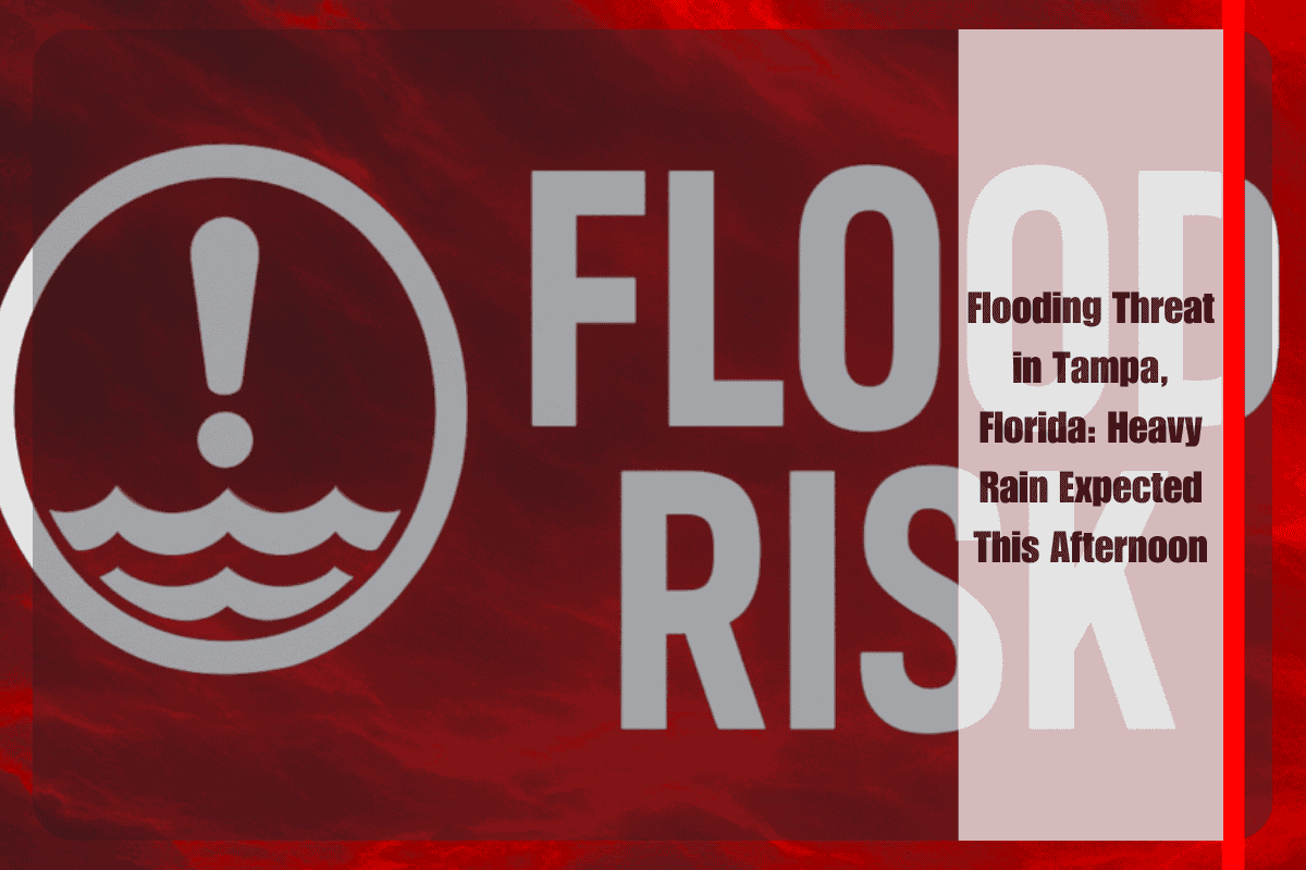
Tampa, Florida – Residents across West Central and Southwest Florida are being warned to prepare for flooding this afternoon as heavy rain is expected to impact the region between 12 p.m. and 9 p.m. Thursday. The National Weather Service in Tampa Bay has issued a Level 1 excessive rainfall risk, with widespread rainfall totals ranging from 0.5 to 1 inch, and localized pockets potentially receiving up to 3 inches. The heaviest rain will target coastal and low-lying communities, including Chiefland, Fort Myers, Sarasota, Bradenton, Tampa, and Brooksville.
Forecasters are especially concerned about water ponding in areas with poor drainage, urban streets, and flood-prone zones. Flash flooding may disrupt evening commutes, particularly near major roadways such as U.S. 41 and I-275. In areas like Sarasota and Lakeland, there is a 70–80% chance of rain, which could result in short-term street flooding. By nightfall, the rain activity should taper off, giving way to warmer and drier conditions over the weekend.
Residents and drivers are urged to stay alert, avoid flooded roads, and listen for updates from local emergency management. If you encounter flooded streets, turn around—don’t drown.
Although Thursday marks the last day of the elevated rainfall threat, scattered afternoon storms and mid-90s temperatures are expected through the weekend.


