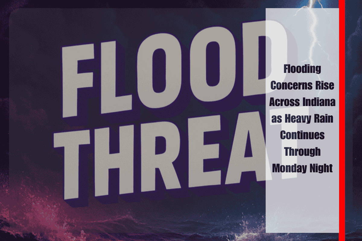
Indianapolis, Indiana – A relentless round of heavy rain and thunderstorms is already causing significant flooding concerns across western and southwestern Indiana today, as parts of the state have picked up more than 2 inches of rainfall. The National Weather Service in Indianapolis reports that the threat isn’t over yet—more rain is on the way through Monday evening and into Tuesday morning, particularly for areas like Vigo, Sullivan, Greene, and Owen counties.
The main issue is “training storms,” which occur when multiple rounds of rain move over the same area repeatedly, allowing water levels to rise quickly. This pattern is pushing already saturated ground toward its limit, and the risk for flash flooding and areal flooding is high. Flood Watches remain in effect for much of the affected region, and localized flooding of roads, fields, and small streams is already being reported.
Officials warn drivers not to underestimate the situation. Do not drive through flooded roads, even if the water looks shallow. It takes only a small amount of water to stall a car or carry a vehicle away. Roads that may look safe can have washed-out sections beneath the water’s surface. If you see barricades, turn around—they’re there for your safety.
Some local schools and businesses may close early or delay opening if water levels continue to rise, particularly in rural and low-lying communities. Drivers on I-70, U.S. 41, and other major corridors should plan for slowdowns, ponding, and hazardous conditions, especially after nightfall when visibility drops.
Communities in the flood watch zone are encouraged to stay indoors if possible, avoid unnecessary travel, and check local alerts throughout the evening. Keep weather apps active, enable emergency notifications on your phone, and make sure to monitor local news or weather radio stations for live updates. If you live near a creek, river, or flood-prone area, move valuables to higher ground and prepare for possible evacuation if water levels continue rising.
More showers and isolated thunderstorms are likely overnight, and although rainfall totals may ease slightly later Tuesday morning, any additional accumulation could quickly worsen conditions, especially where the ground is already soaked.
Flooding is one of Indiana’s most frequent and dangerous weather hazards. This ongoing event is a reminder of how quickly things can escalate—just a few inches of rain in a few hours can create life-threatening conditions if you’re caught in the wrong place at the wrong time.


