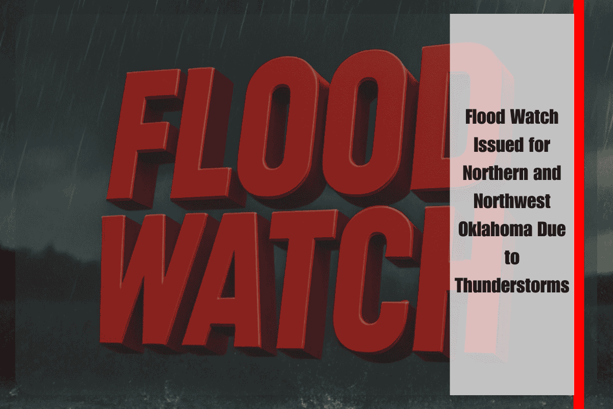
A Flood Watch will be in effect from 7 p.m. Sunday through Monday morning for much of northern and northwest Oklahoma as thunderstorms are expected to bring heavy rainfall capable of causing flash flooding. The National Weather Service in Norman has issued the watch, warning that low-lying areas, creeks, and urban drainage systems could quickly become overwhelmed by the expected rainfall.
The counties under the watch include Garfield, Kay, Grant, Noble, Alfalfa, and Major, impacting cities like Enid, Ponca City, Perry, Blackwell, and Fairview. The greatest risk for flooding will come from storms that repeatedly move over the same areas, potentially dropping several inches of rain in just a few hours.
Travel hazards are anticipated overnight, particularly along rural roads and near river crossings, where conditions can change rapidly. Motorists are strongly urged to avoid driving through flooded areas and to remain cautious of rapidly rising water levels.
The Flood Watch is set to expire at 7 a.m. Monday, but lingering high water may still cause issues during the morning commute, especially in flood-prone areas. Residents are advised to monitor local weather updates throughout the night and be prepared for the possibility of additional flood warnings if conditions worsen.


