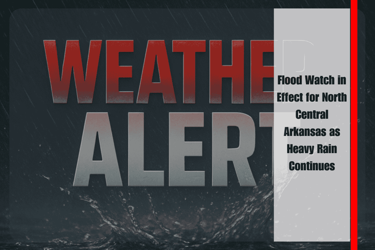
Harrison, Ark. – Communities across north central Arkansas remain under a Flood Watch through Thursday evening, as heavy rain and thunderstorms bring the threat of rising waters across the Ozark foothills. According to the National Weather Service (NWS) in Little Rock, 2 to 4 inches of rainfall are likely, with locally higher amounts possible in storm-heavy pockets.
Areas at Greatest Risk
The Flood Watch covers Marion, Boone, Newton, and Searcy counties, where steep terrain, small streams, and low-lying valleys create elevated flash flooding risks. Creeks and rivers may quickly rise above capacity, leading to hazardous conditions in flood-prone communities.
Towns such as Jasper, Marshall, and Flippin are especially vulnerable to rapid runoff, and residents in those areas are urged to remain alert as storms continue through Thursday.
Emergency Warnings for Residents
Emergency managers in Boone and Searcy counties are cautioning drivers not to attempt travel across flooded roadways. Even shallow water can conceal structural damage or sweep away vehicles. Swift water crossings remain among the deadliest hazards during flood events.
Officials also recommend residents:
- Keep phones charged in case of power outages.
- Monitor weather alerts closely for updated advisories.
- Prepare to move to higher ground if conditions worsen.
Weather Outlook
Thunderstorms are expected to continue into Thursday, bringing additional rounds of heavy rainfall before gradually tapering off by evening. If rainfall totals exceed forecasts, the NWS warns that additional flood advisories could be issued.
With multiple inches of rain expected and storm activity persisting through Thursday, north central Arkansas faces a heightened risk of flash flooding. Residents are encouraged to remain vigilant, avoid flooded roads, and be prepared for quick action should water levels rise further.


