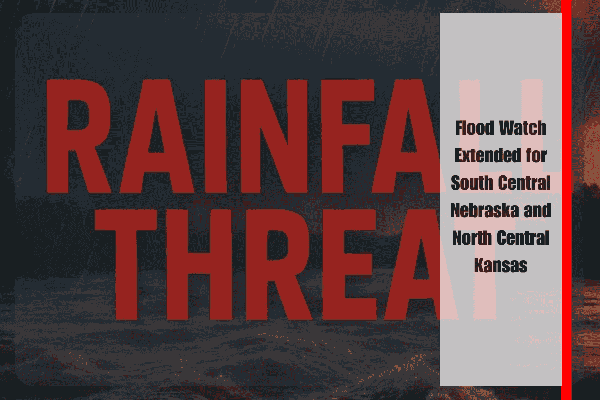
A Flood Watch has been extended across portions of south central Nebraska and north central Kansas due to ongoing thunderstorms and the potential for heavy rainfall. The National Weather Service in Hastings issued the warning, urging residents to stay alert for possible flooding through early Tuesday morning.
Affected Areas and Weather Conditions
The Flood Watch remains in effect until 3 a.m. Tuesday for Adams, Clay, Fillmore, Franklin, Nuckolls, Thayer, and Webster counties in Nebraska, as well as Jewell and Smith counties in Kansas. A separate alert has been issued for Mitchell, Osborne, and Rooks counties in Kansas.
Meteorologists predict that thunderstorms will continue in the region, with the possibility of heavy rainfall that could lead to flash flooding. Areas near rivers, creeks, streams, and low-lying locations are particularly vulnerable to flooding. Excessive runoff from these storms could also create hazardous travel conditions and threaten property in flood-prone areas.
Safety Recommendations
Residents in the affected areas should closely monitor weather updates and be prepared to act quickly if additional warnings are issued. The National Weather Service strongly advises against driving through flooded roadways. If flooding develops near your location, seek higher ground immediately.
At-Risk Communities
The National Weather Service has identified several communities that are most at risk of flooding, including Hastings, Geneva, Superior, Red Cloud, Hebron, Mankato, Osborne, Beloit, Stockton, and Plainville. While rainfall is expected to ease after midnight, isolated pockets of heavy precipitation may continue in some areas.
With the Flood Watch in effect, residents should remain vigilant and take necessary precautions to stay safe. Avoid unnecessary travel through flood-prone areas, and be prepared for rapidly changing conditions as thunderstorms persist overnight.


