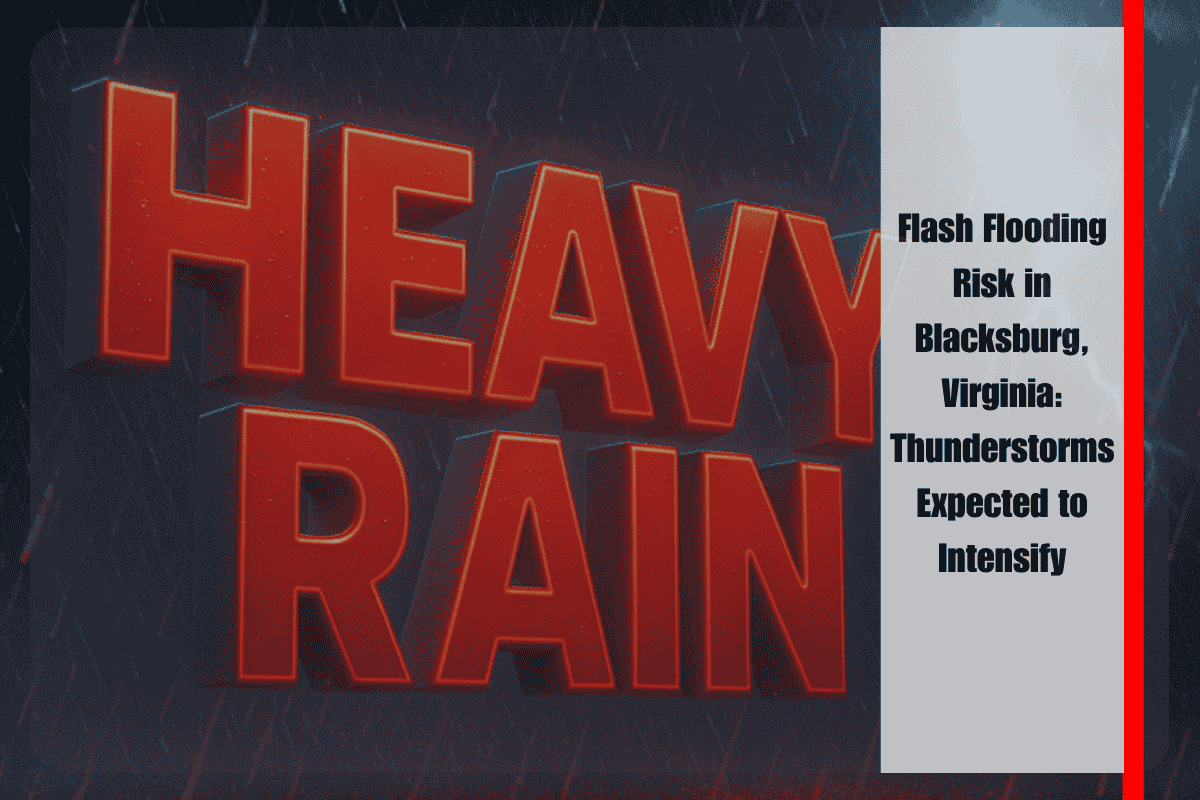
Residents of Blacksburg, Virginia, and surrounding areas should be prepared for slow-moving thunderstorms this afternoon and tonight, which could lead to flash flooding. The National Weather Service in Blacksburg has issued warnings for heavy rainfall from scattered thunderstorms, particularly affecting southwest Virginia and the foothills of northwest North Carolina, especially west of I-77.
As thunderstorms intensify this evening, rainfall rates are expected to increase, with storms potentially training over the same areas, worsening the risk of flooding. The greatest concern is for areas west of Interstate 77 and into the Blue Ridge foothills, where streams, creeks, and low-lying areas may quickly become overwhelmed with water, causing dangerous flooding conditions.
Communities from Galax and Hillsville in Virginia to Mount Airy in North Carolina should stay alert for rising water levels and the possibility of road closures. The flash flooding risk is categorized as moderate, indicating that life-threatening flooding could occur in certain locations. Water may cover roads rapidly, especially near rivers, creeks, and poorly drained urban streets, making driving hazardous.
Residents with evening travel plans should check local alerts, avoid flooded roads, and ensure they have multiple ways to receive emergency updates. If flash flooding occurs, it’s crucial to move to higher ground immediately and never attempt to drive through high water, as this can be extremely dangerous.
While rainfall rates may decrease late tonight, the risk of flash flooding remains high, and further advisories could be issued with little notice. Stay alert for Flash Flood Warnings and follow any emergency instructions provided by local authorities.


