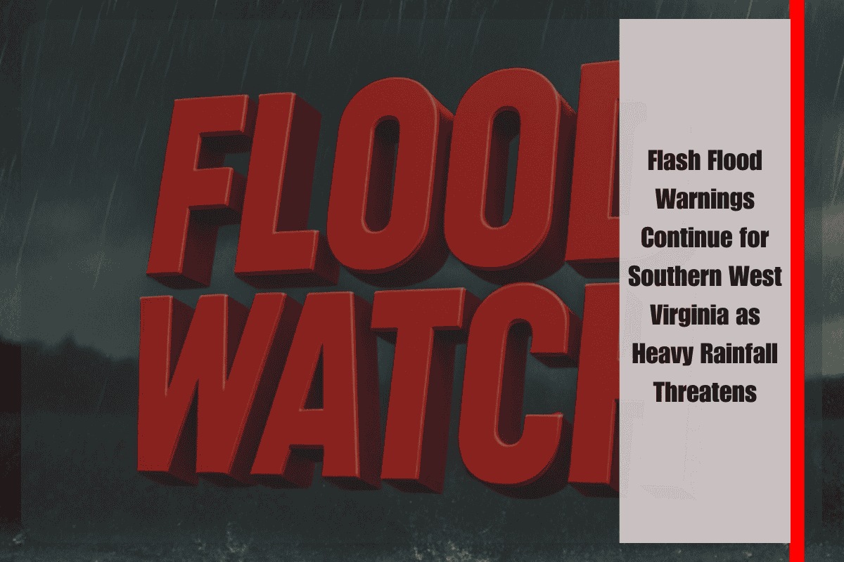
Charleston, WV – Flash flood warnings remain in effect overnight into Monday for southern West Virginia as intense thunderstorms continue to impact the region. While damaging wind gusts are still a concern, the primary danger is flash flooding due to significant rainfall.
The National Weather Service reports that southern parts of West Virginia will experience heavy downpours through early Monday morning. As thunderstorms subside, the weather threat is expected to shift southward, but the risk of flash flooding will remain high. Counties such as Greenbrier, Monroe, and Pocahontas are particularly vulnerable to sudden water accumulation, which could lead to road closures and hazardous conditions.
Although drier weather is expected to settle in Monday evening as a front moves through, bringing clear skies and low humidity for the rest of the week, those in flood-prone areas should remain vigilant. Local emergency management officials are advising residents to avoid travel in flood-prone areas during heavy rain, as even small streams and roads could quickly become inundated.
The Flash Flood Watch remains active for the affected counties, and residents are urged to monitor weather updates closely throughout the night. Being prepared to act quickly if flooding worsens is critical in protecting both life and property.
As conditions continue to evolve, staying informed with the latest alerts and warnings from local authorities will help ensure safety during this flash flood event.


