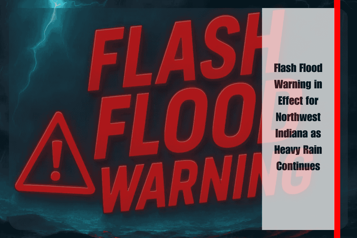
Chicago, IL – A Flash Flood Warning remains in effect for much of northwest Indiana as heavy rain continues to inundate roads and neighborhoods, causing significant flooding and hazardous conditions. The warning will last until 6 p.m. Wednesday, according to the National Weather Service (NWS) in Chicago.
Heavy Rainfall and Flash Flooding
Since early afternoon, northern Jasper, southern Lake, northern Newton, and southern Porter counties have experienced 1 to 4 inches of rain, with an additional 1 to 2 inches expected. Areas like DeMotte, Wheatfield, Lake Village, and Kouts are already experiencing flash flooding, with local radar and rain gauges confirming the ongoing threat.
Hazardous Conditions for Drivers and Residents
Residents and drivers in the affected areas are urged to avoid flooded streets, low-lying areas, and underpasses. The National Weather Service has warned that creeks, drainage ditches, and small streams are rising rapidly, creating additional flood risks. Key areas, including Roselawn, Shelby, Schneider, and Dunns Bridge, may face blocked roads, stranded vehicles, or power outages if the rain persists.
Safety Precautions and Emergency Advice
Local emergency management officials are advising residents to move to higher ground immediately and to avoid walking or driving through floodwaters, as conditions can change quickly. People should also charge mobile devices, gather emergency supplies, and continue to stay updated on the situation through local authorities.
The Flash Flood Warning is in effect until at least 6 p.m. Wednesday, but the risk of further rainfall and additional warnings could extend the threat into the evening.


