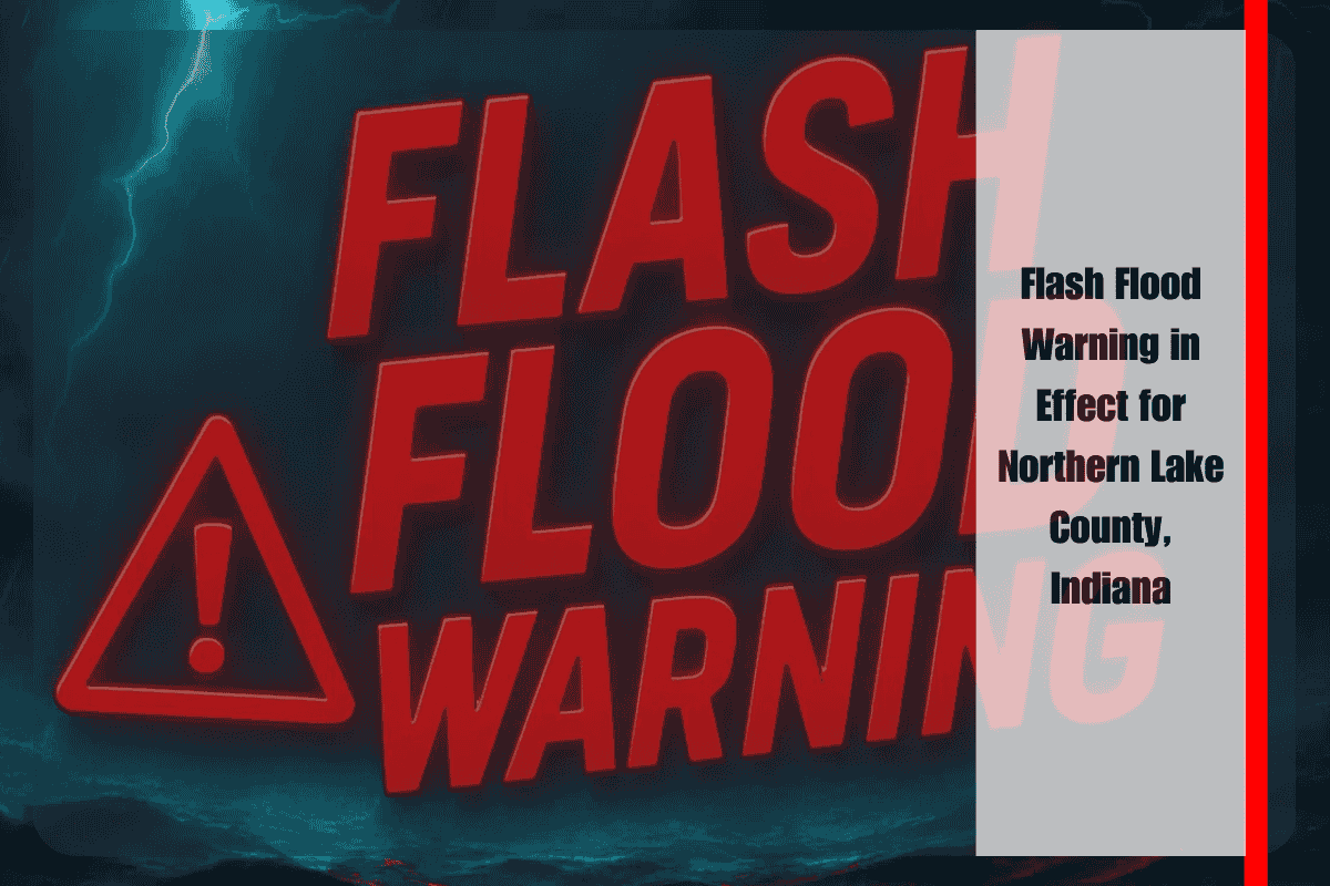
Northern Lake County is facing dangerous flooding conditions Monday night as torrential rain overwhelms streets, drainage systems, and neighborhoods. The National Weather Service in Chicago has issued a Flash Flood Warning until 11:30 p.m., warning that rainfall rates of 3 to 4 inches per hour could continue through late evening.
Widespread Flooding Already Underway
Automated rain gauges show that up to 3 inches of rain have already fallen, with another 2 inches possible before storms subside. Flooding has already been reported in parts of Whiting, and forecasters caution that conditions are rapidly deteriorating across the region.
Low-lying streets, underpasses, and drainage ditches are filling quickly. Major travel routes—including I-90, I-80/94, and U.S. 41—are especially vulnerable to standing water, which could trap vehicles and create hazardous driving conditions.
Communities at Risk
The warning covers a wide stretch of northern Lake County, including Gary, Hammond, East Chicago, Merrillville, Portage, Highland, Munster, Griffith, and Dyer. All of these communities face the risk of flash flooding as storms continue to move slowly over the area.
Residents near creeks or in flood-prone neighborhoods should prepare to move to higher ground if water begins to rise around homes or businesses. Sewer backups and scattered power outages are also possible as the ground becomes oversaturated.
Safety Guidance from Officials
Local authorities stress the dangers of attempting to drive through flooded intersections or underpasses. Even shallow water can disable vehicles or sweep them off the road. The safest option is to avoid travel unless absolutely necessary and remain in a secure location until conditions improve.
For those already on the road, officials advise turning around immediately when encountering flooded streets—“Turn Around, Don’t Drown” remains the guiding principle.
Outlook Through the Night
The flash flood threat will persist until late Monday night, with the potential for additional alerts if storms redevelop or rainfall rates remain high.
Residents are encouraged to monitor updates from the National Weather Service and local emergency management agencies for the latest warnings and advisories.
With storms producing rainfall at extreme rates, the situation in northern Lake County remains dangerous. Staying weather-aware, avoiding flooded areas, and preparing for possible outages are essential steps until the threat subsides.


