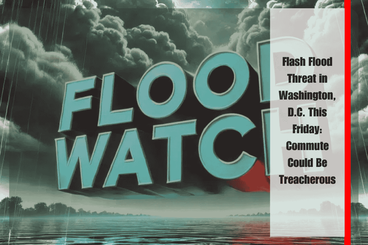
Washington, D.C., and surrounding areas are facing a serious weather threat on Friday, as intense afternoon thunderstorms could lead to flash flooding. This will make the Friday commute across key corridors like Route 50 and I-495 particularly hazardous. The National Weather Service has issued a Flood Watch, warning that excessive rainfall could create dangerous conditions, especially in areas with poor drainage.
Flood Watch and Rainfall Threat
The Flood Watch is in effect until 9 p.m. Friday for Washington, D.C., much of Maryland—including Prince George’s, Anne Arundel, and Montgomery counties—and parts of Northern Virginia, including Arlington, Fairfax, and Alexandria. The storms are expected to bring heavy rainfall rates of up to 1 inch per hour, with localized totals potentially reaching 2 to 3 inches. This could lead to flooding in low-lying areas, creeks, underpasses, and areas with poor drainage systems.
Afternoon Storms and Evening Hazard
Showers and thunderstorms are expected to intensify through the afternoon and evening, with gusty winds up to 25 mph and the possibility of lightning. Drivers should be extra cautious, especially in areas prone to flooding, and avoid flooded roadways. The NWS advises people to monitor local alerts for updates and to take precautions, such as limiting travel when possible. If you come across a flooded area, remember the crucial safety advice: “Turn Around, Don’t Drown.”
As the storms continue into the evening, southwest winds will shift to northwest overnight, offering some relief. However, the saturated ground could still cause ongoing issues throughout the night.
Weekend Weather Outlook
After a stormy Friday, the skies will begin to clear by Friday night, making way for a warm and dry weekend. Saturday will see partly cloudy skies with a high near 93°F, while Sunday is expected to be hot and sunny, reaching highs near 98°F, marking the warmest day of the five-day forecast.
Five-Day Forecast for Washington, D.C.
Thursday: High 93°F, severe thunderstorms likely after 5 p.m.
Thursday Night: Low 64°F, severe storms taper off before midnight.
Friday: Sunny with a high near 87°F, breezy west winds.
Saturday: Partly cloudy, high near 93°F.
Sunday: Mostly sunny and hot, high near 98°F.
Monday: Mostly sunny, high near 99°F.
Residents of Washington, D.C., and surrounding areas should be prepared for a potentially dangerous commute on Friday due to intense thunderstorms and the risk of flash flooding. As heavy rain and gusty winds threaten the region, travelers should stay alert and take necessary precautions to stay safe. The weather will clear up in time for a warm and dry weekend, with temperatures climbing to near 98°F by Sunday.


