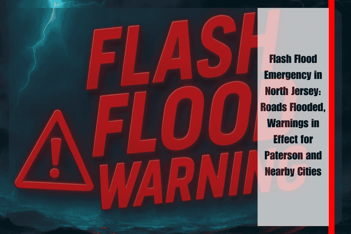
Paterson, N.J. – Heavy downpours are slamming northern New Jersey this Thursday afternoon, with flash flooding quickly overwhelming streets and neighborhoods across Bergen, Essex, Hudson, and eastern Passaic counties. The National Weather Service in Upton has issued a Flash Flood Warning that remains in effect until 5:30 p.m. Thursday, and residents are being urged to take immediate safety precautions.
The ongoing thunderstorms are producing rainfall at alarming rates—up to 2.5 inches per hour—and radar shows that 1 to 2 inches have already fallen in many areas, with an additional 4 inches possible before the storms exit the region. These intense rains are leading to rapid water accumulation, posing serious threats to both urban and suburban communities.
Hard-hit areas include Paterson, Passaic, Hackensack, Bloomfield, and Wayne, where flooded roads, clogged storm drains, and rising streams are making conditions hazardous. Local and state officials are warning that urban neighborhoods, low-lying intersections, and places with poor drainage could become impassable in minutes, especially as runoff increases throughout the afternoon.
Drivers are being urged to stay off the roads, particularly after 3 p.m., when flash flooding is expected to worsen. Roads such as Route 17, Route 4, the Garden State Parkway, and various local underpasses are at high risk for closure due to water accumulation. Even shallow standing water can hide deep potholes or swift currents, and trying to drive through flooded roads can be deadly.
Residents are strongly advised not to walk, drive, or play in floodwaters and to move to higher ground if flooding threatens their home or vehicle. Basement-level residents in flood-prone zones should secure electronics and valuables, unplug unnecessary items, and remain prepared for potential water intrusion or power outages. Those with sump pumps should check that they are working properly now, not later.
This weather emergency is being compared to July 2021’s flash floods, which stranded dozens of drivers, flooded homes and businesses, and caused power outages across northern New Jersey. While this current event may vary in duration, the intensity of rainfall and flash flooding risk is comparable and should be treated just as seriously.
The Flash Flood Warning will remain active until at least 5:30 p.m., and additional advisories are possible into Thursday night as storm systems continue to develop and redevelop over the region. The saturated ground and blocked drainage systems are likely to keep flood conditions active even after the rain slows down.
For now, the best way to stay safe is to remain indoors, avoid unnecessary travel, and keep an eye on local weather alerts and emergency instructions. Residents should have a plan ready in case they need to move to higher ground or deal with brief power outages.


