Fort Wayne, Indiana – This evening, a few pop-up showers and storms developed, which lasted into the night.
A particularly impressive storm cell formed this afternoon in southern Wells County. This storm cell dropped nearly 4 inches of rain in 55 minutes. As a result, a flash flood warning was issued for a small area of the county. One report from that area stated that a portion of a road had flooded near the intersection of 1000 S and 700 W. As always, this is a good reminder to turn around when you see floodwaters on the road.
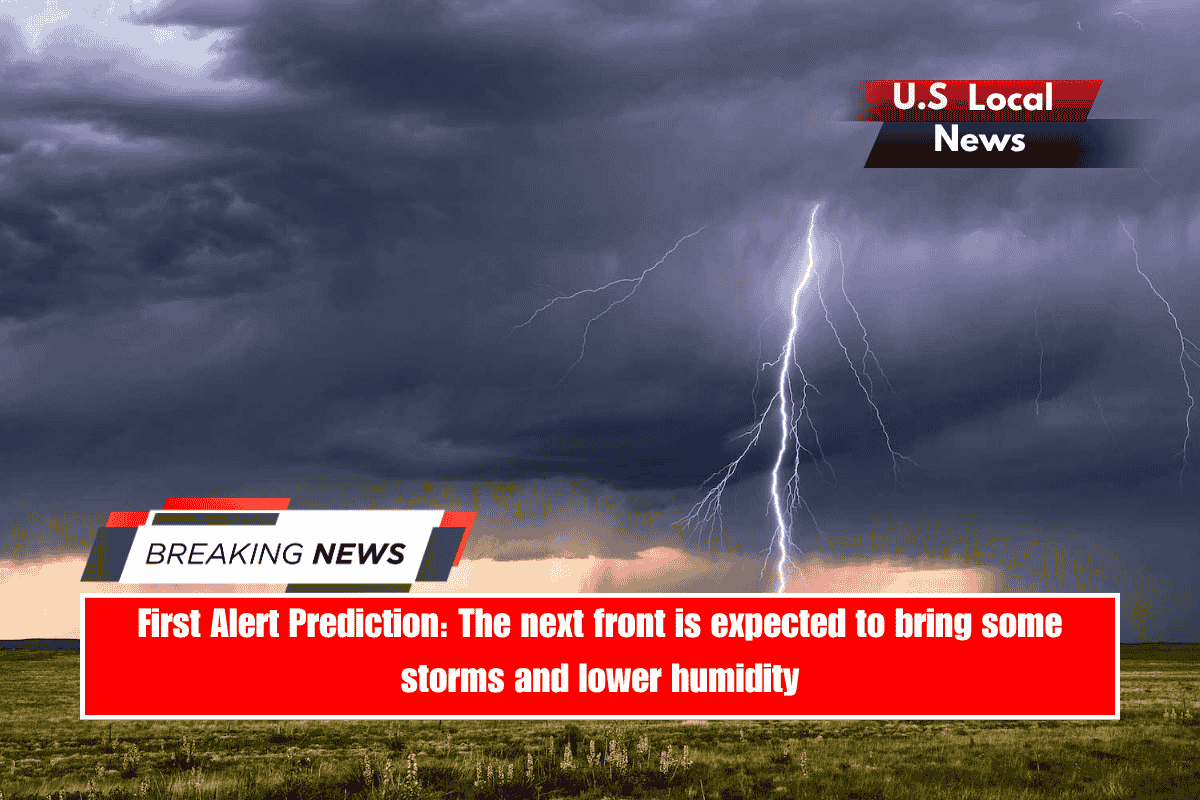
Looking ahead, a front will swing through the region on Monday, providing more opportunities for scattered rain and storms. The Storm Prediction Centre has issued a Marginal (Level 1) risk of severe weather for tomorrow afternoon and evening across the entire state of Indiana. While I don’t anticipate many severe storms, a few may become gusty and cause isolated wind damage.
On the bright side, the front moving in tomorrow is expected to reduce humidity until Tuesday. The low humidity will not last long; humidity will gradually increase as we approach the holiday weekend. Temperatures will drop into the lower 80s on Tuesday, but will return to near 90 by the holiday.
Tonight: Some sct’d pop-ups; Low 70, Wind S ~ 5
Monday: Sct’d rain and storms, humid; High 86; Wind SW ~ 5.