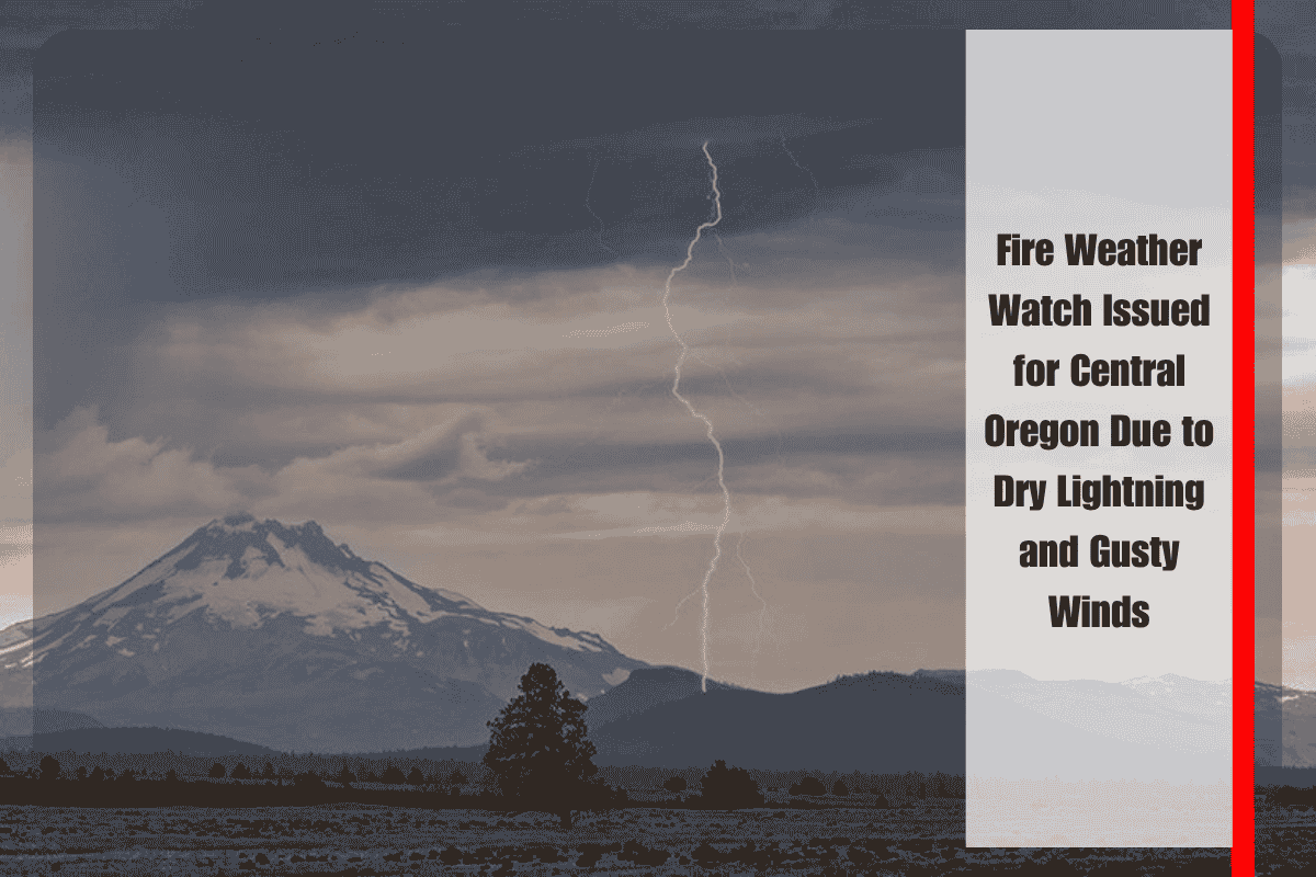
A Fire Weather Watch has been issued for central Oregon’s mountains and the southern Deschutes National Forest on Tuesday afternoon, as dry lightning and strong winds could quickly ignite wildfires. The alert, issued by the National Weather Service in Pendleton, is in effect from 2 p.m. to 11 p.m. Tuesday, as a dry cold front moves through the area, destabilizing the atmosphere.
Dangerous Conditions for Fire Spread
While thunderstorms will be isolated, any lightning strikes have the potential to spark new fires, especially with minimal rainfall expected — most areas will receive less than a tenth of an inch. The Fire Weather Watch affects Fire Weather Zones 700 and 705, which cover large portions of Jefferson and Deschutes counties. Winds could gust as high as 45 mph, which will help spread any wildfires quickly and make it harder for fire crews to control them.
Precautions for Residents
Outdoor burning is strongly discouraged, and residents are advised to secure loose items that could become airborne and fuel the spread of fires. It’s also essential to have evacuation plans in place, as the wind and lightning could create rapidly changing conditions. Fire crews across the region are on standby, ready to respond if needed.
As conditions evolve, further alerts, including Red Flag Warnings, could be issued. It’s crucial for residents to stay updated on local fire alerts and be prepared to act quickly if needed.
With dry lightning, gusty winds, and the potential for rapid fire spread, central Oregon faces significant fire danger on Tuesday. Residents should take all necessary precautions to stay safe and monitor updates as the situation develops.


