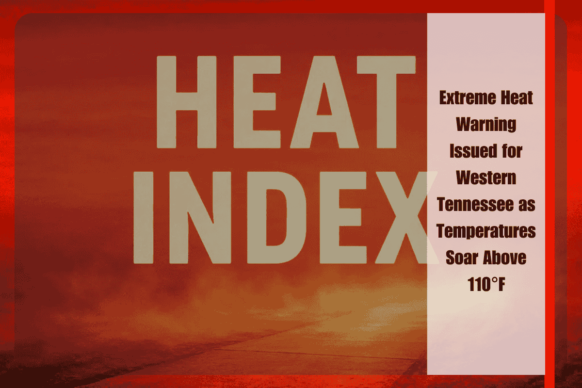
Western Tennessee is bracing for another dangerously hot day, with heat index values expected to exceed 110°F, prompting an Extreme Heat Warning from the National Weather Service (NWS). The warning, in effect through 8 p.m. Thursday, highlights the region’s intense summer heat and the risk of heat-related illnesses.
What to Expect:
The actual high temperatures will climb into the upper 90s, but the “feels-like” temperature will range from 107°F to 111°F across cities such as Memphis, Jackson, Tupelo, and Oxford. Memphis and Forrest City are expected to experience the highest heat index, reaching a scorching 111°F.
Heat-Related Risks:
The warning area includes most of west Tennessee and north Mississippi. The extreme temperatures could lead to heat-related illnesses like heat exhaustion and heat stroke, particularly for those who are not adequately hydrated or who fail to take precautions. Local officials urge everyone to limit outdoor activity between noon and 6 p.m., the hottest part of the day.
Safety Tips:
- Never leave children or pets in vehicles, even for short periods.
- Wear lightweight, light-colored clothing to help stay cool.
- Stay inside air-conditioned buildings whenever possible.
- If outdoors, take frequent breaks and stay hydrated to avoid heat exhaustion.
- With high temperatures placing strain on power grids, it’s also advised to limit energy usage during peak hours to prevent outages.
Looking Ahead:
The heat is expected to ease slightly on Friday, but there remains the potential for another advisory if overnight temperatures stay high and humidity persists.


