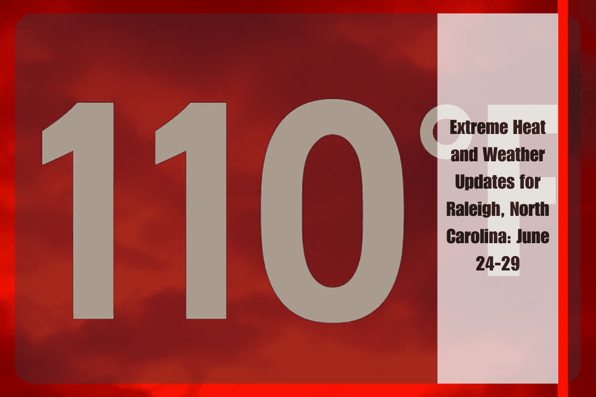
Central North Carolina, including Raleigh, Durham, Chapel Hill, and Fayetteville, is currently facing intense heat, with an Excessive Heat Warning in effect until 8 p.m. Wednesday. During this period, heat index values will soar as high as 110°F. The National Weather Service in Raleigh has issued a warning for the ongoing dangerously high temperatures and humidity across the region, particularly in the eastern Piedmont and Coastal Plain areas.
The heat will be at its peak between 12 p.m. and 5 p.m. on Wednesday. Residents are advised to take necessary precautions like staying hydrated, staying in the shade, and using air conditioning to cool down. It’s particularly important to limit outdoor activities during the hottest hours, especially for vulnerable groups such as children, older adults, and people with health conditions.
In Wake, Orange, Johnston, and Cumberland Counties, extra care should be taken due to the intense conditions. Residents are reminded not to leave children or pets in parked cars. With the power grid likely under strain from increased energy demand, it’s a good idea to charge devices in advance and conserve energy during peak times.
As the day progresses on Wednesday, scattered thunderstorms are expected to develop in the late afternoon and evening. These storms will bring temporary relief from the heat but will also increase the chances of localized flooding and lightning. The rain chances will rise to about 40% in the evening.
Five-Day Weather Forecast for Central North Carolina (June 24–29):
The weather outlook for the coming days shows continued heat with some brief thunderstorms.
On Tuesday, June 24, the temperature is expected to reach a high of 102°F with mostly sunny skies. The heat index will push it to around 110°F. Wednesday, June 25, will see temperatures near 100°F, with a slight chance of storms after 11 a.m. On Thursday, June 26, the high will be around 95°F, with mostly sunny conditions and isolated storms after 2 p.m. Friday, June 27, will have a high near 94°F and mostly sunny weather, with a light breeze. Saturday, June 28, will remain hot with temperatures reaching 96°F, while Sunday, June 29, will also see highs near 96°F, along with a 30% chance of thunderstorms in the evening.
The heat wave affecting Raleigh and surrounding areas is expected to last through the week, bringing high temperatures, humidity, and potential storms. It is crucial to stay cool, hydrated, and safe during this extreme weather. With temperatures expected to stay high for several days, it’s important for everyone to take precautions, especially for the vulnerable populations. Make sure to stay updated on the weather and be prepared for possible changes, including thunderstorms that could bring some temporary relief but also pose risks like flooding and lightning.


