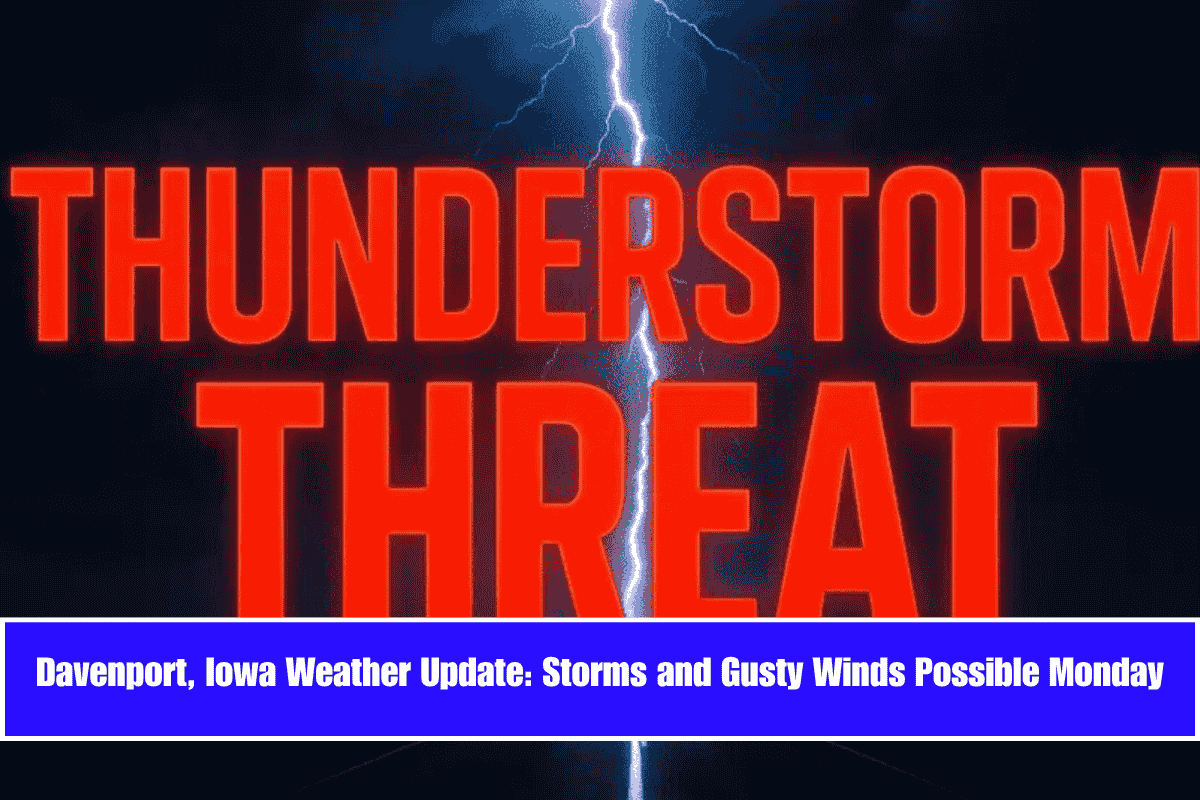
Storms with gusty winds are expected to roll into the Iowa-Illinois border region by early Monday afternoon, potentially impacting the Quad Cities metro. A Slight Risk for severe weather is in effect south of the area, while Davenport and Moline are under a Marginal Risk, with damaging winds being the primary concern.
The National Weather Service in the Quad Cities reports a 20% chance of thunderstorms between 1 and 4 p.m. Monday. Wind gusts could reach up to 25 mph, and while widespread severe weather isn’t likely, stronger storms could cause traffic hazards, particularly on the I-74 and I-80 corridors, including Mississippi River crossings.
Safety Tips:
- Residents in both Iowa and Illinois should stay alert for sudden weather changes and avoid unnecessary travel during the afternoon peak hours.
- Outdoor workers and drivers are advised to secure loose materials and prepare for brief heavy downpours and gusty winds.
Skies will clear Monday night with temperatures dropping to around 54°F. Tuesday will see a shift to classic summer weather, with dry and sunny conditions and a high near 80°F. The warming trend continues into Wednesday, topping out at 88°F, before storm chances return later in the week.
Five-Day Forecast for the Quad Cities:
- Monday (June 9): Slight chance of storms 1–4 p.m., high 76°F.
- Tuesday (June 10): Sunny and dry, high near 80°F.
- Wednesday (June 11): Mostly sunny and hot, high near 88°F.
- Thursday (June 12): Afternoon showers possible, high 84°F.
- Friday (June 13): 50% chance of thunderstorms, high 83°F.
As the week progresses, storm potential ramps up again on Thursday and Friday. Residents are encouraged to continue monitoring updates as conditions evolve across the Iowa-Illinois border.


